 Germany · 12th century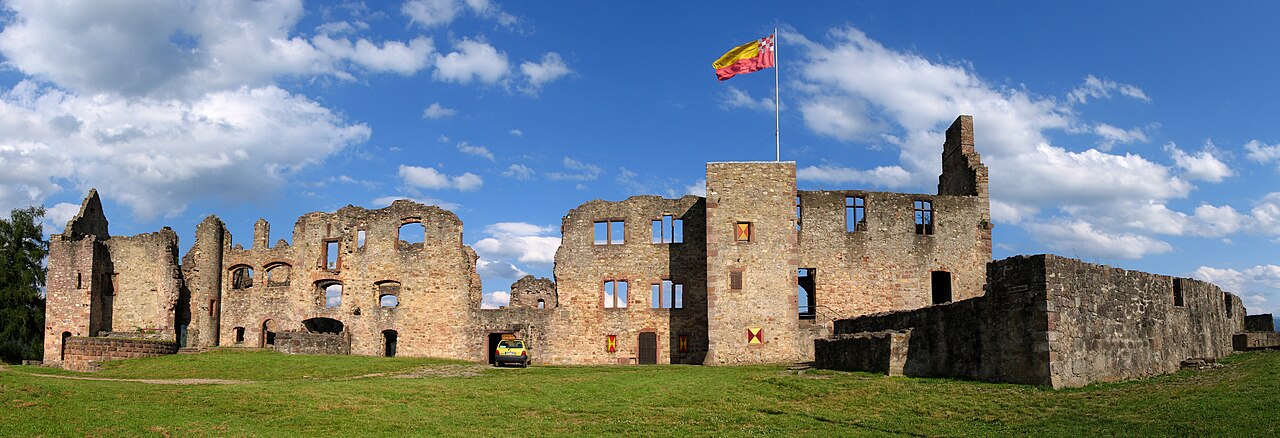
The Hochburg ("high castle") is a castle ruin situated between the city of Emmendingen and the village of Sexau in the region of Baden, located in the southwest of Germany. It was presumably built in the 11th century and was originally known as castle Hachberg. The line of nobles known as the Margraves of Baden-Hachberg most likely derive their name from this castle and before it was razed by the French it was the second largest fortification in Baden.
Text adapted from “Hochburg” on Wikipedia, CC BY-SA 4.0.
Hochburg ranks #2,971 of 9,035 worldwide in the atlas's castle fame ranking, and #238 of the 709 mapped in Germany. Founded 1127, it is older than 84% of the atlas's dated landmarks, one of 763 atlas entries founded in the 12th century. Its Wikipedia articles were opened 1,440 times in the last 60 days, more than 61% of the atlas. 8 more atlas landmarks stand within 25 km. The nearest day-trip guide is Freiburg im Breisgau, 14 km away. See how Germany compares in the castle statistics.
View on the interactive castle map →