Castle
Wüstegarten
🇩🇪 Germany
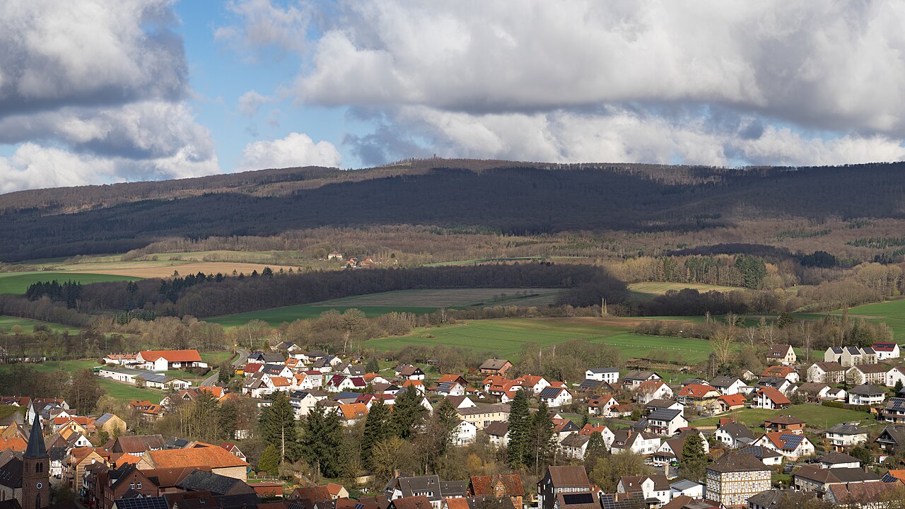
Wüstegarten is a mountain in the counties of Waldeck-Frankenberg and Schwalm-Eder-Kreis in the north of the German state of Hesse. It is in the Kellerwald mountains and has an elevation of 675.3 metres (2,216 ft).
The mountain is within the Kellerwald-Edersee National Park, Hesse's only national park. Activities include hiking, nordic walking, mountain biking, and cross-country skiing.
Text adapted from “Wüstegarten” on Wikipedia, CC BY-SA 4.0.
Wüstegarten ranks #3,775 of 8,133 worldwide in the atlas's castle fame ranking, and #294 of the 505 mapped in Germany. 4 more atlas landmarks stand within 25 km. See how Germany compares in the castle statistics.
View on the interactive castle map →Frequently asked questions
Where is Wüstegarten?
Wüstegarten stands in Germany, at 51.01639°, 9.08417°.
How famous is Wüstegarten?
In this atlas's fame ranking: #3,775 of 8,133 worldwide, and #294 in Germany. Fame here combines how many Wikipedia language editions cover a landmark with how many people read them.
What is the nearest castle to Wüstegarten?
Büraburg, about 16 km away.
More castles in Germany
- Schloss Lembeck Germany · 17th century
- Sausenburg Castle Germany · 13th century
- Dachau Palace Germany · 16th century
- Falkenstein Castle (Pfronten) Germany · 13th century
More castles
- Trachselwald Castle Switzerland · 12th century
- Oberhofen Castle Switzerland · 13th century
- Nyborg Castle Denmark
- Plankenstein Castle Austria · 12th century