 Ukraine
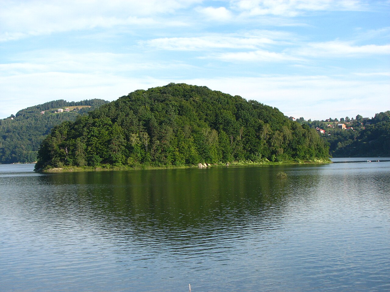
Horodok castle ranks #8,430 of 9,040 worldwide in the atlas's castle fame ranking, and #147 of the 195 mapped in Ukraine. 4 more atlas landmarks stand within 25 km. The nearest day-trip guide is Chernivtsi, 38 km away. See how Ukraine compares in the castle statistics.
The Horodok Castle (Ukrainian: Городоцький замок, romanized: Horodots'kyi zamok) was a lost defensive structure in the village of Horodok of the Zalishchyky urban hromada in the Chortkiv Raion of Ternopil Oblast of Ukraine.
There was a castle and city fortifications in the village of Horodok in the Chortkiv Raion. The village was first mentioned in 1453. At the beginning of the 15th century, the town already had fortifications. In 1600, a part of the crown army was stationed in the castle, which later went on the Wallachian campaign of Jan Zamoyski. The town with the castle and fortifications can be seen on the map of Guillaume Le Vasseur de Beauplan of the 17th century. The castle with four bastions is also marked on the map of Friedrich von Mieg. 1782 without a single destroyed bastion. The stronghold is also known as "Shantsi Panny Marii".
Text adapted from “Horodok Castle, Ternopil Oblast” on Wikipedia, CC BY-SA 4.0.
View on the interactive castle map →