 Slovakia · 13th century
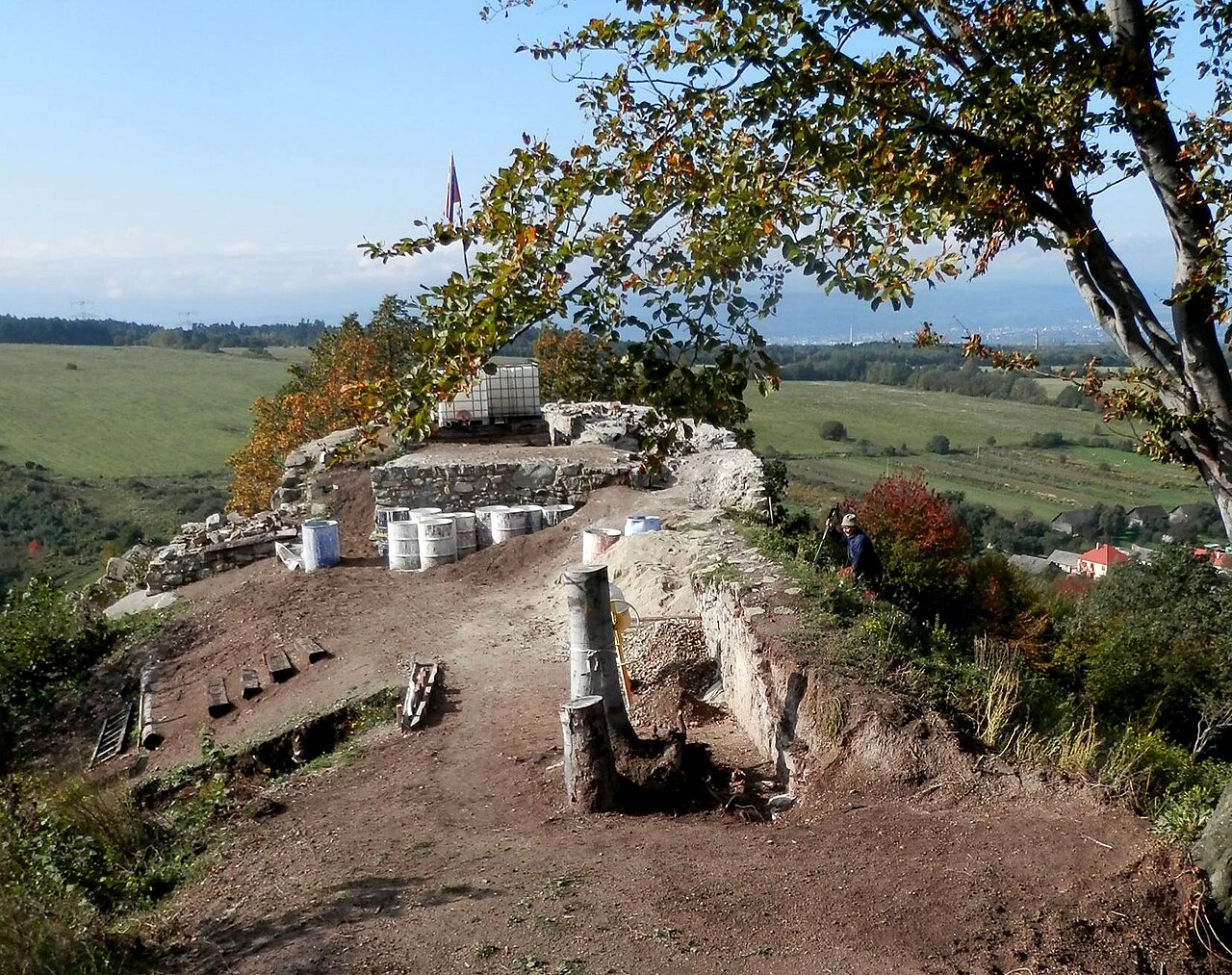
Hrad Šebeš ranks #8,610 of 9,040 worldwide in the atlas's castle fame ranking, and #114 of the 135 mapped in Slovakia. Founded c. 1300, it is older than 60% of the atlas's dated landmarks, one of 1091 atlas entries founded in the 13th century. 6 more atlas landmarks stand within 25 km. The nearest day-trip guide is Prešov, 9 km away. See how Slovakia compares in the castle statistics.
Hrad Šebeš (also Šebeš castle, castrum Sebes, Sebeswar, the small castle of Šebeš) is a 13th-century castle protected as a national cultural monument of the Slovak Republic, belonging to the cadastral territory of the village of Podhradík in the district of Prešov. It lies at an altitude of 529 metres, on a hillock above the village, whose name recalls the locality of the small castle of Podhradie (Waryala). The castle site is situated on an overgrown rocky spur, on whose crown the now barely distinct remains of Šebeš castle can be made out, in the Slanské vrchy mountains.
Machine-translated from “Šebeš (hrad)” on the Czech Wikipedia, CC BY-SA 4.0.
View on the interactive castle map →