Ruin
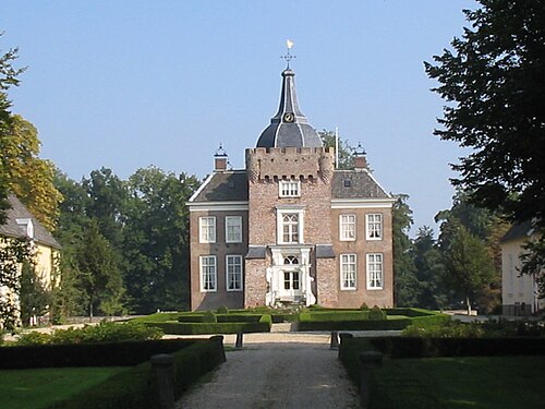
Huis te Langerak
 Netherlands
- Location
- Molenlanden
- Coordinates
- 51.93461°, 4.87786°
- Open data
- Wikidata Q125018164
- Links
- Wikimedia Commons
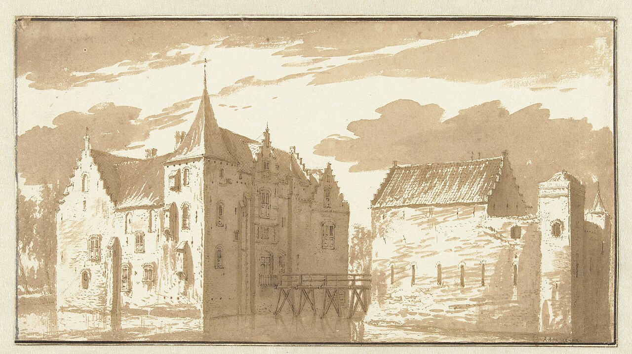
Description
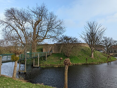
The Huis te Langerak was a castle and ridderhofstad in the Dutch village of Langerak, province of South Holland.
Machine-translated from “Huis te Langerak” on the Dutch Wikipedia, CC BY-SA 4.0.
In the rankings
Huis te Langerak ranks #9,626 of 9,902 worldwide in the atlas's castle fame ranking, and #209 of the 213 mapped in Netherlands. 17 more atlas landmarks stand within 25 km. The nearest day-trip guide is Utrecht, 24 km away. See how Netherlands compares in the castle statistics.
Castles nearby
- Schonenburg12 km · Netherlands
- Blauwe Toren14 km · Netherlands
- Kasteel IJsselstein15 km · Netherlands
- Heukelum Castle16 km · Netherlands
More castles in the Netherlands
- Burcht van VoorneNetherlands · 12th century
- Kasteel Groot EngelenburgNetherlands · 17th century
- SibberhuuskeNetherlands
- Groot PoelgeestNetherlands · 12th century