Ruin
Kamaha Castle
🇯🇵 Japan
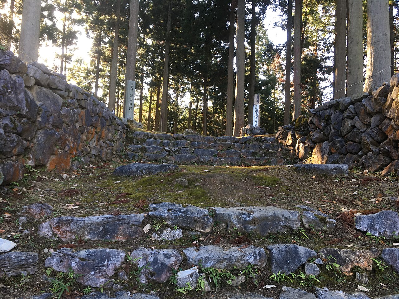
Kamaha Castle (鎌刃城, Kamaha jō) was a Sengoku period yamashiro-style Japanese castle located in the Banba neighborhood of the city of Maibara, Shiga Prefecture, in the Kansai region of Japan. Its ruins have been protected as a National Historic Site since 2005.
Kamaha Castle is located on a sharp ridge extending westward from the Ryōzen mountains at an elevation of about 200 meters. The castle controls a narrow valley between Lake Biwa and the Sawayama Mountains, which is connected by the Surihari Pass with Sekigahara, Gifu. The Nakasendō highway runs through this gap, connecting Kyoto with eastern Japan, and Banba-juku, which served as the jōkamachi of this castle, was one of the post stations on the route. The castle extends for about 400 meters east-to-west by 500 meters north-to-south, making it the second largest in this region after Odani Castle. The inner bailey is a trapezoid-shaped terrace 40 meters long by 30 meter wide, with a yagura watchtower.
Most of the walls of this central keep were faced with stone. The main gate of the castle faced the town of Banba-juku. The central keep was protected by a series of seven enclosures with earthen ramparts and dry moats on the north ridge, two on the south ridge and eight on the west ridge. The foundations of a large building with a basement has been found in one of the enclosures on the northern ridge, with a large number of iron nails. It is possible that this may have been intended to be a tenshu of the castle.
During the Muromachi period, much of Ōmi Province was controlled by the Rokkaku clan and Kyōgoku clan, both of whom were descendants of Sasaki clan. After the Ōnin War of 1467 to 1477, the Rokkaku clan gradually grew in power, defying the Ashikaga Shogunate, and by the Sengoku period had emerged as a strong regional power under the warlord Rokkaku Sadayori. On the other hand, the Kyōgoku clan, who had remained loyal to the shogunate and who had been awarded with posts such as shugo of Ōmi, Izumo, Oki and Hida, gradually lost power and by the Sengoku period were sandwiched in a small territory in-between the aggressive Rokkaku and the equally aggressive Asai Sukemasa based at Odani Castle. In 1524, Asai Sukemasa, with the support of the Asakura clan in Echizen Province seized the Kyōgoku territories in northern Ōmi. The Kyōgoku remaining in southern Ōmi continued to resist.
Text adapted from “Kamaha Castle” on Wikipedia, CC BY-SA 4.0.
Kamaha Castle ranks #5,560 of 8,134 worldwide in the atlas's castle fame ranking, and #270 of the 297 mapped in Japan. Its Wikipedia articles were opened 1,121 times in the last 60 days, more than 51% of the atlas. 6 more atlas landmarks stand within 25 km. The nearest day-trip guide is Hikone, 6 km away. It is one of the 71 landmarks on the atlas's regional map of Kansai. See how Japan compares in the castle statistics.
View on the interactive castle map →Frequently asked questions
Where is Kamaha Castle?
Kamaha Castle stands in Japan, at 35.29706°, 136.31544°.
How famous is Kamaha Castle?
In this atlas's fame ranking: #5,560 of 8,134 worldwide, and #270 in Japan. Fame here combines how many Wikipedia language editions cover a landmark with how many people read them.
What is the nearest castle to Kamaha Castle?
Sawayama Castle, about 5 km away.
More castles in Japan
- Shinpu Castle Japan · 16th century
- Tamaru Castle Japan
- Takatenjin Castle Japan
- Sugaya Yakata Japan
More ruins
- Shibushi Castle Japan
- Takiyama Castle Japan · 16th century
- Moto Sakura Castle Japan · 15th century
- Masuyama Castle Japan · 14th century