Ruin
Kamieniec Castle
🇵🇱 Poland
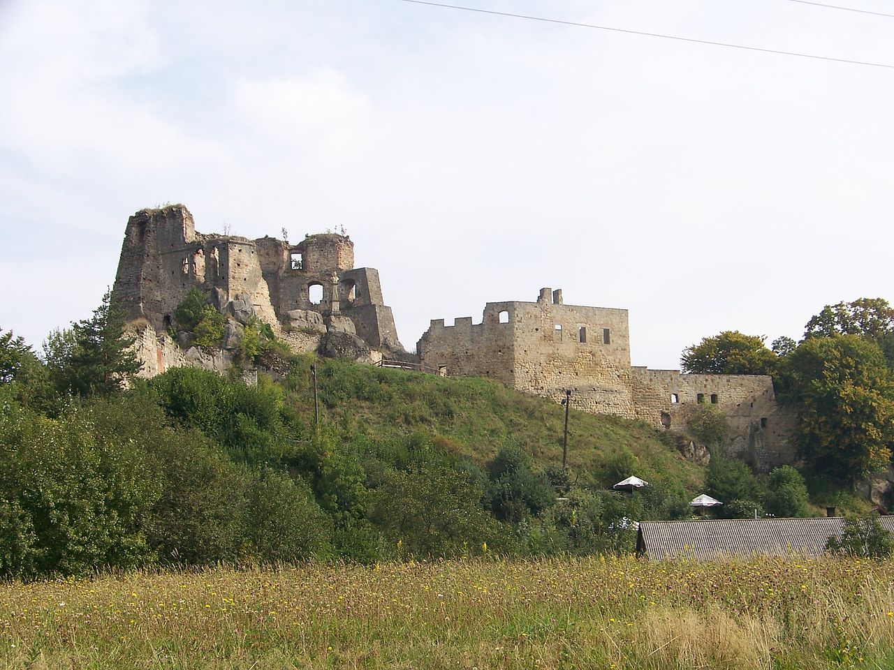
Kamieniec Castle is a 14th-century Gothic castle ruin, which was expanded in the 16th century in a Renaissance form. The fortress is located on the borderlands between Korczyna and Odrzykoń in Krosno County, Podkarpackie Voivodeship, Poland.
Text adapted from “Kamieniec Castle” on Wikipedia, CC BY-SA 4.0.
Kamieniec Castle ranks #4,212 of 8,134 worldwide in the atlas's castle fame ranking, and #156 of the 374 mapped in Poland. Its Wikipedia articles were opened 2,514 times in the last 60 days, more than 72% of the atlas. 1 more atlas landmarks stand within 25 km. The nearest day-trip guide is Nowy Sącz, 80 km away. See how Poland compares in the castle statistics.
View on the interactive castle map →Frequently asked questions
Where is Kamieniec Castle?
Kamieniec Castle stands in Poland, at 49.7425°, 21.7862°.
How famous is Kamieniec Castle?
In this atlas's fame ranking: #4,212 of 8,134 worldwide, and #156 in Poland. Fame here combines how many Wikipedia language editions cover a landmark with how many people read them.
What is the nearest castle to Kamieniec Castle?
Nowotaniec Castle, about 22 km away.
More castles in Poland
- Stary Książ Castle Poland · 18th century
- Kazimierz Dolny Castle Poland
- Kętrzyn Castle Poland · 14th century
- Lipa Górna Castle Poland
More ruins
- Ronov Castle Czech Republic · 14th century
- Sirotčí hrádek Czech Republic · 13th century
- Prácheň Czech Republic · 14th century
- Montorge castle ruin Switzerland · 13th century