 Poland · 15th century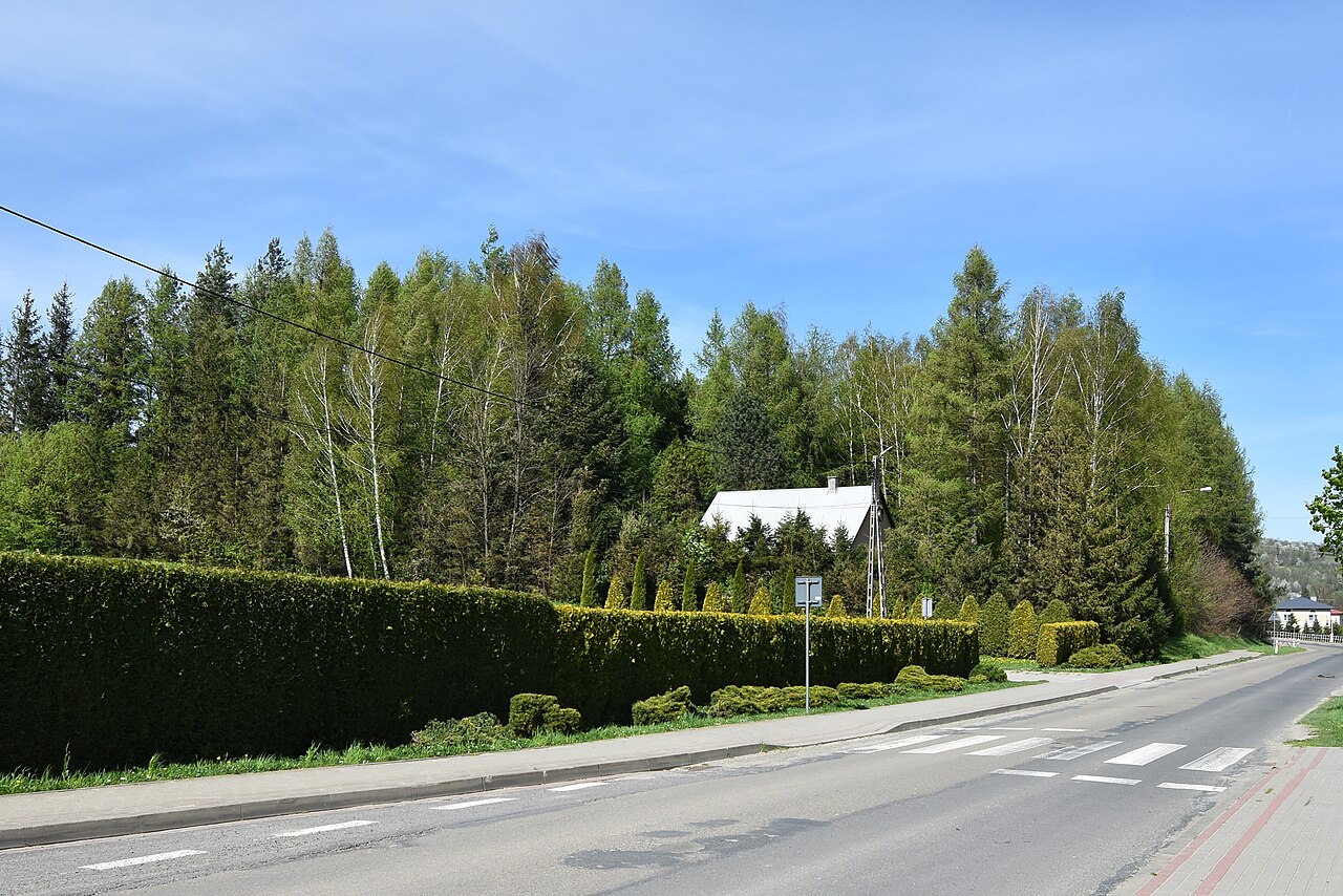
Nowotaniec Castle – a medieval castle (fortalitium) in Nowotaniec, probably built at the end of the 15th century, situated on one of the trade routes to Hungary (now voivodeship road no. 889 from Rymanów, through Bukowsko to Szczawne. This road joins voivodeship road no. 892 leading to the border crossing to Slovakia at Radoszyce).
Mentioned in historical sources at the beginning of the 17th century. At the end of the 16th century the castle garrison together with the inhabitants of the town may have numbered about 500 people.
Machine-translated from “Zamek w Nowotańcu” on the Polish Wikipedia, CC BY-SA 4.0.
Nowotaniec Castle ranks #8,906 of 9,079 worldwide in the atlas's castle fame ranking, and #398 of the 398 mapped in Poland. Founded c. 1475, it is older than 45% of the atlas's dated landmarks — one of 554 atlas entries founded in the 15th century. 3 more atlas landmarks stand within 25 km. See how Poland compares in the castle statistics.
View on the interactive castle map →