Ruin
Karolin Castle
 Belarus · 17th century
- Founded
- 1690
- Location
- Pinsk
- Coordinates
- 52.11764°, 26.12072°
- Open data
- Wikidata Q13978320
- Links
- Wikimedia Commons
Description
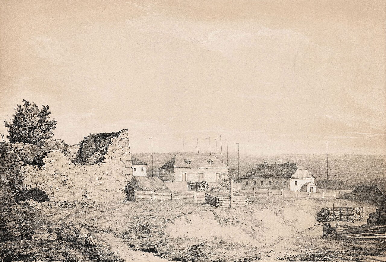
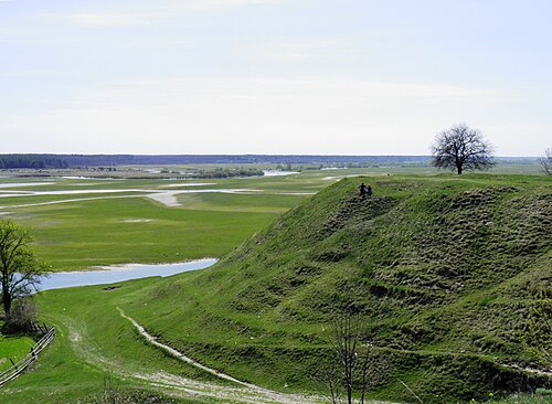
Karolin Castle (Belarusian: Каралінскі замак) stood in Karolin, a suburb of Pinsk.
It was founded by the Grand Marshal of the Grand Duchy of Lithuania, Prince Jan Karol Dolski, who in 1690 received land near Pinsk from the Sejm. There he built the suburb of Karolin, a castle which had both a military and a representative function, and opposite it the church of St Charles Borromeo.
The castle was built in the New Italian fortification system, rectangular in plan, and measured 76 m by 38 m by 46 m by 76 m. The two southern bastions faced the Pripyat River and were of small size. In front of the castle ran a moat up to 9 m wide with a drawbridge. In the citadel stood the palace of the castle's owner.
After the death of J. K. Dolski the castle passed by inheritance to the Wiśniowiecki princes. The castle was destroyed in 1706 by the troops of the Swedish king Charles XII. By the beginning of the 20th century the ruins of the castle survived. An underground passage has survived to the present day, by which one can come out onto the bastions.
Machine-translated from “Каролинский замок” on the Russian Wikipedia, CC BY-SA 4.0.
In the rankings
Karolin Castle ranks #7,662 of 9,902 worldwide in the atlas's castle fame ranking, and #39 of the 44 mapped in Belarus. Founded 1690, it is older than 23% of the atlas's dated landmarks, one of 755 atlas entries founded in the 17th century. 1 more atlas landmarks stand within 25 km. See how Belarus compares in the castle statistics.
Castles nearby
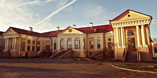
- Butrymovič Palace in Pinsk1 km · Belarus
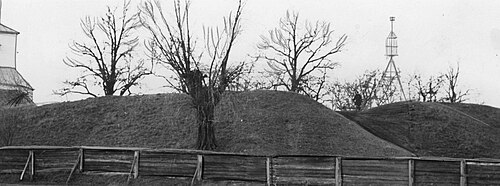
- Davyd-Haradok Castle75 km · Belarus
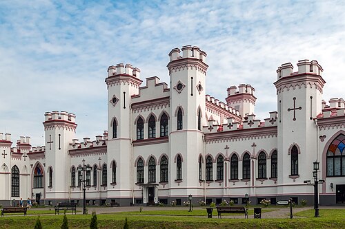
- Kosava Castle99 km · Belarus
- Gord Zamok in Staryi Chortoryisk
 100 km · Ukraine
More castles in Belarus
- Bulhak Palace in ŽyličyBelarus
- Kozieł-Pakleŭski manor in Krasny BierahBelarus · 19th century
- Snov PalaceBelarus · 19th century
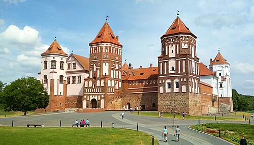
- Mir Castle ComplexBelarus · 16th century