 Morocco · 18th century
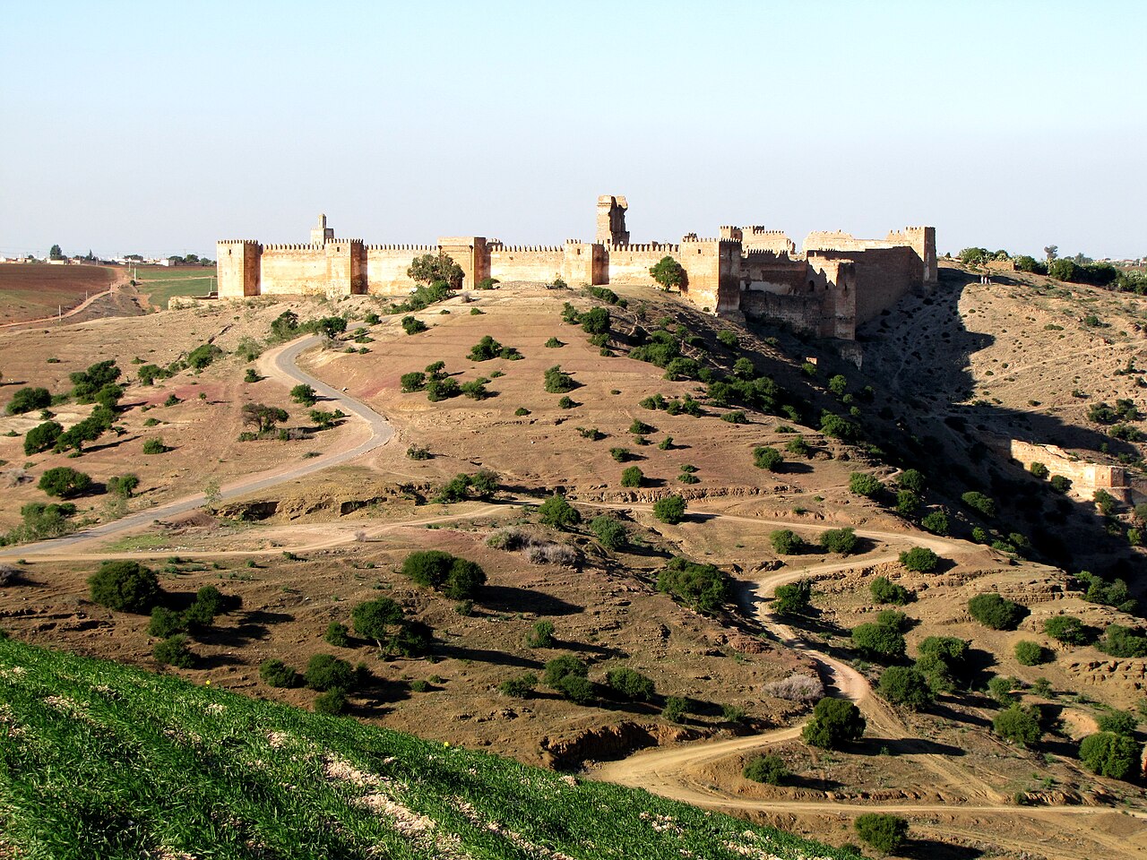
Kasbah Boulaouane ranks #4,040 of 9,040 worldwide in the atlas's castle fame ranking, and #16 of the 41 mapped in Morocco. Founded c. 1710, it is older than 20% of the atlas's dated landmarks, one of 685 atlas entries founded in the 18th century. See how Morocco compares in the castle statistics.
Kasbah Boulaouane (Arabic: قصبة بولعوان) is a kasbah in the town of Boulaouane, Morocco. It is situated on the rock which sits at the curve of Oum Er-Rbia River, overlooking the surrounding area. In the 20th century, an orientalist Edmond Doutté had provided a detailed description for the kasbah.
Kasbah Boulaouane was commissioned around 1710. It is considered among tens of other kasbahs built during the era of the Alaouite sultan Ismail Ibn Sharif as a local center for administration. The kasbah is placed on the strategic location which overlooks the river, and reachable through the strategic corridor known as Al-Kurrasa. The building is modeled after the similar fortification built during the Byzantine-era. There had been a long tradition among the Maghrebi dynasties such Almoravid, Almohad, Marinid and Saadi to construct kasbahs as fortifications, and this is considered another addition by the Alaouite Sultan.
The kasbah was abandoned later, and covered by the sand. The accumulation of sand reached the same height as the kasbah wall, and it took intensive removal of the sand to restore some of the facilities such as mosque inside the kasbah. The restoration has been conducted along with the overhauling of the surrounding area into a tourist spot, by arranging the infrastructure.
Text adapted from “Kasbah Boulaouane” on Wikipedia, CC BY-SA 4.0.
View on the interactive castle map →