Castle
Kasteel d'Oultremont
 Netherlands · 13th century
- Founded
- 1230
- Heritage status
- Rijksmonument
- Location
- Heusden
- Coordinates
- 51.69276°, 5.16928°
- Open data
- Wikidata Q2115531
- Links
- Wikimedia Commons

Description
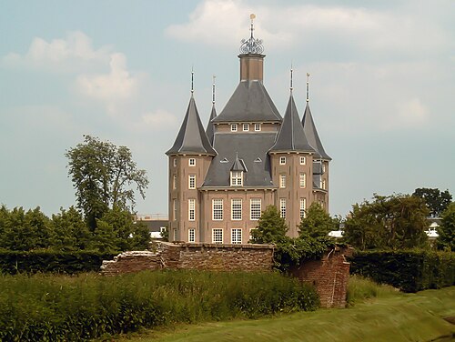
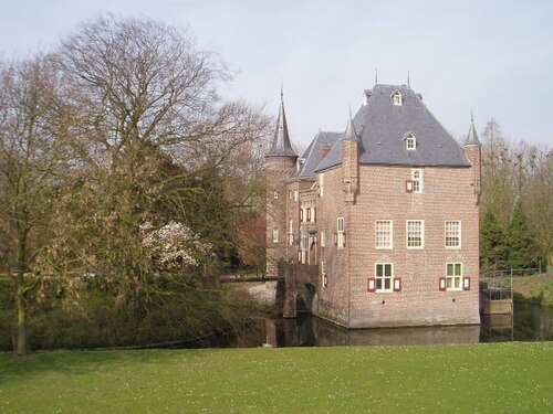
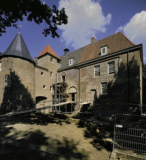
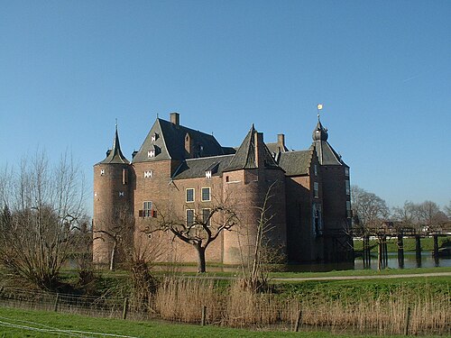
The d'Oultremont Castle (Dutch: Kasteel d'Oultremont), once known as Steenenburgh Castle (Kasteel Steenenburgh) and as Huis te Drunen and nicknamed - for its current colour - the "Pink Castle" (Het Roze Kasteel), is a historic building located between the Dutch villages of Nieuwkuijk and Drunen, in the municipality of Heusden (North Brabant), erected as a fortress in 1230 and remodelled in the 15th century and between the 18th and 19th centuries. The building, which during the 20th century was owned by the d'Oultremont family (hence its current name), now stands within the amusement park Het Land van Ooit. The building is classified as rijksmonument no. 37877.
Machine-translated from “Castello d'Oultremont (Heusden)” on the Italian Wikipedia, CC BY-SA 4.0.
In the rankings
Kasteel d'Oultremont ranks #7,677 of 9,902 worldwide in the atlas's castle fame ranking, and #110 of the 213 mapped in Netherlands. Founded 1230, it is older than 73% of the atlas's dated landmarks, one of 1134 atlas entries founded in the 13th century. 14 more atlas landmarks stand within 25 km. The nearest day-trip guide is Tilburg, 16 km away. See how Netherlands compares in the castle statistics.
Castles nearby
- Well Castle7 km · Netherlands
- Kasteel Nederhemert7 km · Netherlands
- Ammersoyen Castle8 km · Netherlands
- Fort Crèvecoeur8 km · Netherlands
More castles in the Netherlands
- Kasteel HeemstedeNetherlands
- Binckhorst CastleNetherlands · 14th century
- Castle d'ErpNetherlands · 13th century
- De ThombeNetherlands