 Netherlands · 13th century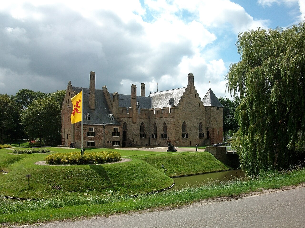
Radboud Castle (Dutch: Kasteel Radboud) is a castle on the east bank of the harbour in Medemblik.
Radboud Castle is one of a number of castles in North Holland. The building was commissioned by Floris V, Count of Holland. When exactly it was built is unknown, but the castle was completed before the St. Lucia's Flood of 13 December 1287.
On 24 June 1517 the castle saved some of the Medemblik townsfolk from the raids of Grutte Pier and his Arumer Zwarte Hoop (a band of marauding pirates).
On 12 August 1588 the castle surrendered to Diederik Sonoy and the Geuzen.
The defensive function of the castle was reduced with the building of walls around the city of Medemblik in 1572 and due to both dismantling and lack of maintenance there was attrition of the castle buildings.
Text adapted from “Radboud Castle” on Wikipedia, CC BY-SA 4.0.
Kasteel Radboud ranks #3,141 of 9,079 worldwide in the atlas's castle fame ranking, and #27 of the 199 mapped in Netherlands. Founded 1288, it is older than 64% of the atlas's dated landmarks — one of 1080 atlas entries founded in the 13th century. Its Wikipedia articles were opened 1,672 times in the last 60 days, more than 64% of the atlas. The nearest day-trip guide is Amsterdam, 48 km away. See how Netherlands compares in the castle statistics.
View on the interactive castle map →