 Sudan · 19th century BC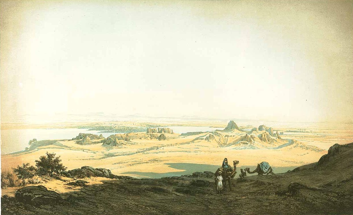
Kumma or Semna East is an archaeological site in Sudan. Established in the mid-12th Dynasty of Egypt, it served as a fortress of ancient Egypt in Nubia. Along with Semna, Kumma was built by the Pharaoh Sesostris III (1878 BC – 1839 BC). The forts protected the border between ancient Egypt and the southern areas.
Kumma is situated about 365 kilometres (227 mi) south of Aswan, and 35 kilometres (22 mi) southwest of the second cataract of the Nile on the eastern bank. Semna is located on the other side. Both locations are flooded today because of the Aswan High Dam on Lake Nubia. The salvaged temple of Khnum is rebuilt in the National Museum of Sudan at Khartoum.
Text adapted from “Kumma (Nubia)” on Wikipedia, CC BY-SA 4.0.
Kumma ranks #4,123 of 9,079 worldwide in the atlas's castle fame ranking, and #1 of the 2 mapped in Sudan. Founded c. 1858 BC, it is older than 99% of the atlas's dated landmarks — one of 6 atlas entries founded in the 19th century BC. 1 more atlas landmarks stand within 25 km. See how Sudan compares in the castle statistics.
View on the interactive castle map →