 Ireland · 12th century
Leighlinbridge Castle ranks #6,500 of 9,040 worldwide in the atlas's castle fame ranking, and #130 of the 178 mapped in Ireland. Founded c. 1181, it is older than 78% of the atlas's dated landmarks, one of 763 atlas entries founded in the 12th century. 12 more atlas landmarks stand within 25 km. The nearest day-trip guide is Waterford, 54 km away. See how Ireland compares in the castle statistics.
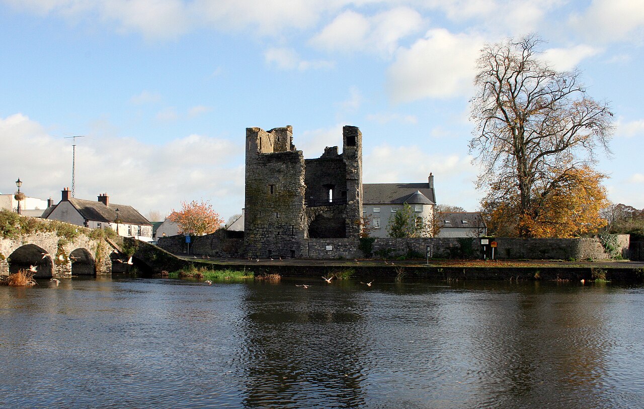
Leighlinbridge Castle, also called Black Castle, is in the village of Leighlinbridge, County Carlow, Ireland, on the River Barrow.
The early castle was built c.1181 for the Normans. In the 1540s a Carmelite friary was converted into a new fort by Edward Bellingham. The remains of the castle are now dilapidated - a 50-foot-tall (15 m) broken castle tower and parts of one side of an enclosing wall are still extant.
Text adapted from “Leighlinbridge Castle” on Wikipedia, CC BY-SA 4.0.
View on the interactive castle map →