 Germany · 1st century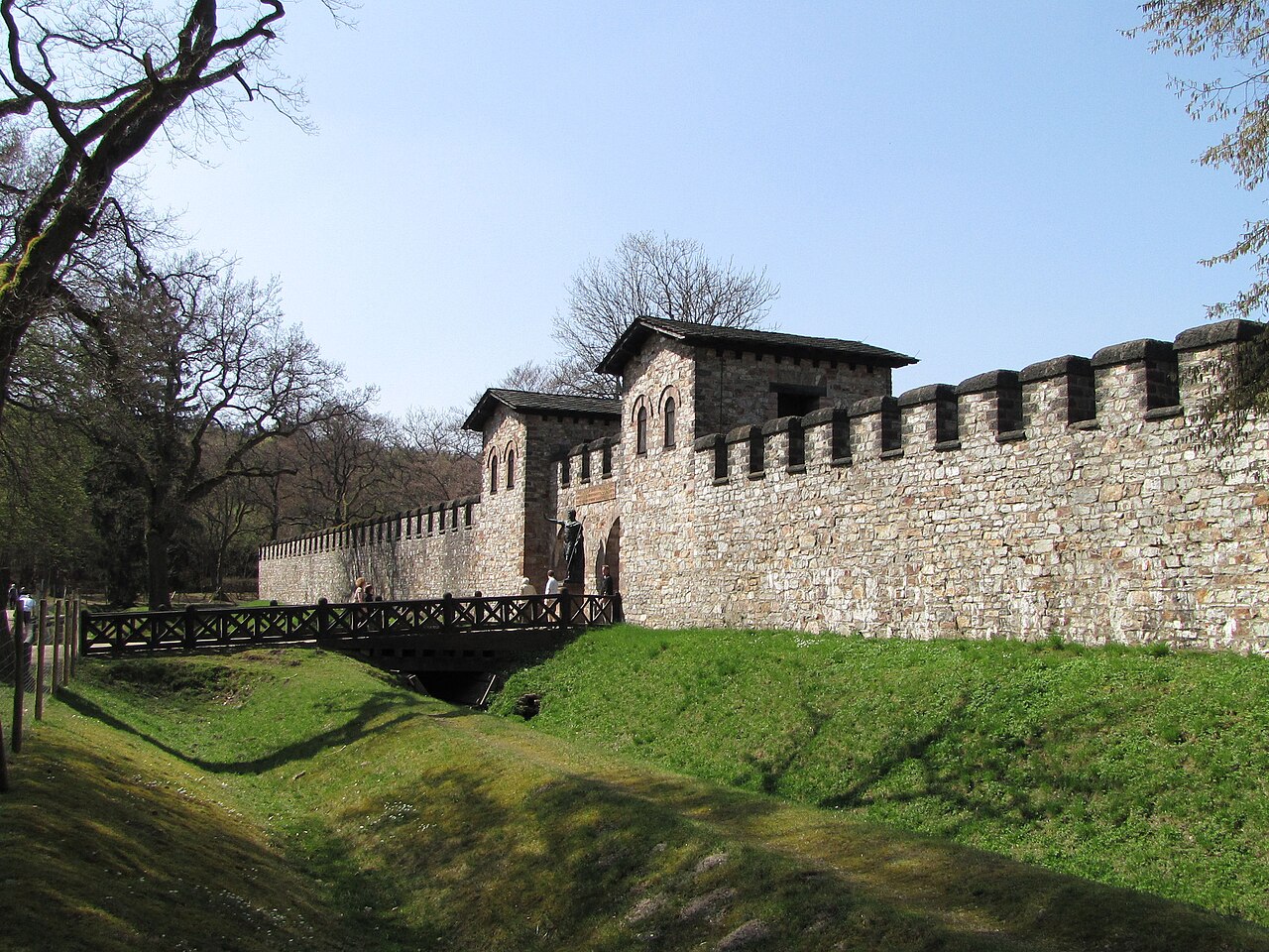
The Limes Germanicus (Latin for Germanic frontier), or 'Germanic Limes', is the name given in modern times to a line of frontier (limes) fortifications that bounded the ancient Roman provinces of Germania Inferior, Germania Superior and Raetia, separating the Roman Empire and the unsubdued Germanic tribes from about 83 AD to 260 AD. The frontier used either a natural boundary such as a river or typically an earth bank and ditch with a wooden palisade and watchtowers at intervals, and a system of linked forts was built behind them.
The path of the limes changed over time following advances and retreats in response to external threats. At its height, the Limes Germanicus stretched from the North Sea outlet of the Rhine to near Regensburg (Castra Regina) on the Danube. These two major rivers afforded natural protection from mass incursions into imperial territory, with the exception of a gap stretching roughly from Mogontiacum (now Mainz) on the Rhine to Castra Regina. The Limes Germanicus was divided into:
The Lower Germanic Limes, which extended from the North Sea at Katwijk in the Netherlands along the then main Lower Rhine branches (modern Oude Rijn, Leidse Rijn, Kromme Rijn, Nederrijn) The Upper Germanic Limes started from the Rhine at Rheinbrohl (Neuwied (district)) across the Taunus mountains to the river Main (East of Hanau), then along the Main to Miltenberg, and from Osterburken (Neckar-Odenwald-Kreis) south to Lorch (in Ostalbkreis, Württemberg) in a nearly perfect straight line of more than 70 km; The Rhaetian Limes extended east from Lorch to Eining (close to Kelheim) on the Danube.
Text adapted from “Limes Germanicus” on Wikipedia, CC BY-SA 4.0.
Limes Germanicus ranks #474 of 9,079 worldwide in the atlas's castle fame ranking, and #41 of the 711 mapped in Germany. Founded c. 83, it is older than 98% of the atlas's dated landmarks — one of 33 atlas entries founded in the 1st century. Its Wikipedia articles were opened 8,695 times in the last 60 days, more than 92% of the atlas. 2 more atlas landmarks stand within 25 km. The nearest day-trip guide is Heidelberg, 58 km away. See how Germany compares in the castle statistics.
View on the interactive castle map →