 Poland · 14th century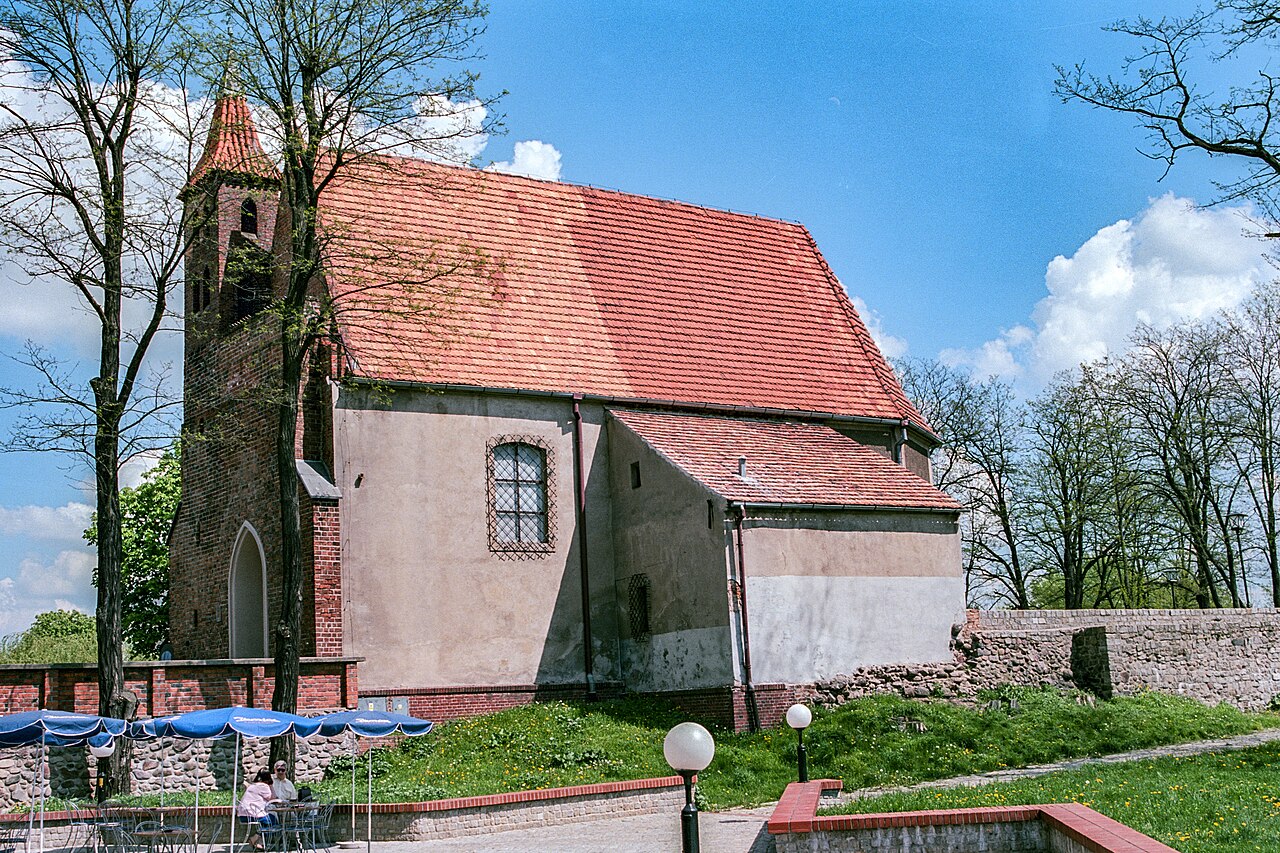
Lubin Castle – a structure which, together with other utility and defensive buildings, stood on the castle hill in Lubin. Destroyed by Swedish troops in 1641, only the castle chapel has survived, in which in 1990 the Castle Gallery was created.
Machine-translated from “Zamek w Lubinie” on the Polish Wikipedia, CC BY-SA 4.0.
Lubin Castle ranks #8,568 of 9,079 worldwide in the atlas's castle fame ranking, and #371 of the 398 mapped in Poland. Founded c. 1400, it is older than 50% of the atlas's dated landmarks — one of 755 atlas entries founded in the 14th century. 7 more atlas landmarks stand within 25 km. The nearest day-trip guide is Legnica, 21 km away. It is one of the 80 landmarks on the atlas's regional map of Lower Silesia. See how Poland compares in the castle statistics.
View on the interactive castle map →