 Poland · 13th century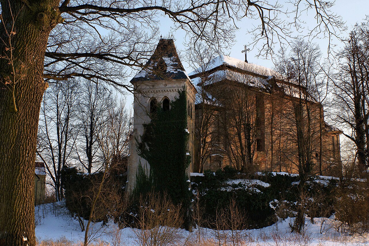
Jędrzychów Castle is a free-standing complex of the 13th century located on a natural rocky rise in Jędrzychów, which for a period served as an Evangelical church (1750–1945).
Machine-translated from “Zamek w Jędrzychowie” on the Polish Wikipedia, CC BY-SA 4.0.
Jędrzychów Castle ranks #8,765 of 9,079 worldwide in the atlas's castle fame ranking, and #385 of the 398 mapped in Poland. Founded c. 1300, it is older than 61% of the atlas's dated landmarks — one of 1080 atlas entries founded in the 13th century. 5 more atlas landmarks stand within 25 km. The nearest day-trip guide is Legnica, 28 km away. It is one of the 80 landmarks on the atlas's regional map of Lower Silesia. See how Poland compares in the castle statistics.
View on the interactive castle map →