 Bulgaria · 5th century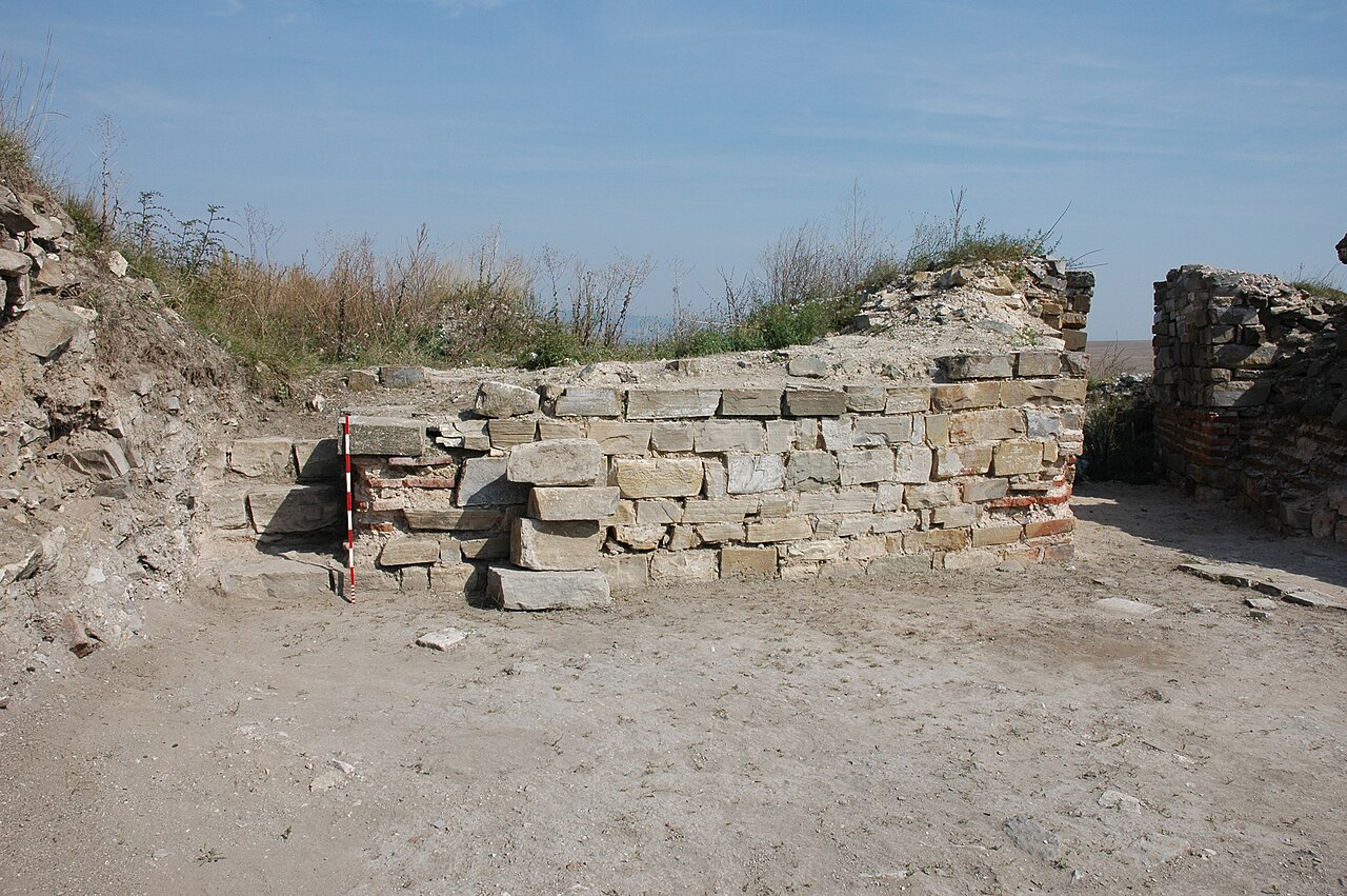
Markeli (Bulgarian: Маркели; Greek: Μαρκέλλαι, Markellai; Latin: Marcellae) was a medieval Byzantine and Bulgarian frontier stronghold, the ruins of which are located in Karnobat Municipality, Burgas Province, southeastern Bulgaria. Dating to Late Antiquity, the castle lay some 7.5 kilometres (4.7 miles) from the modern town of Karnobat. It was the site of two notable medieval battles between Byzantines and Bulgarians, the Battle of Marcellae of 756 and the Battle of Marcellae of 792.
Text adapted from “Markeli” on Wikipedia, CC BY-SA 4.0.
Markeli ranks #4,028 of 9,079 worldwide in the atlas's castle fame ranking, and #15 of the 26 mapped in Bulgaria. Founded c. 475, it is older than 97% of the atlas's dated landmarks — one of 37 atlas entries founded in the 5th century. See how Bulgaria compares in the castle statistics.
View on the interactive castle map →