 China · 16th century
Miaojiang Great Wall ranks #4,925 of 9,040 worldwide in the atlas's castle fame ranking, and #52 of the 103 mapped in China. Founded 1554, it is older than 36% of the atlas's dated landmarks, one of 887 atlas entries founded in the 16th century. Its Wikipedia articles were opened 1,548 times in the last 60 days, more than 63% of the atlas. See how China compares in the castle statistics.
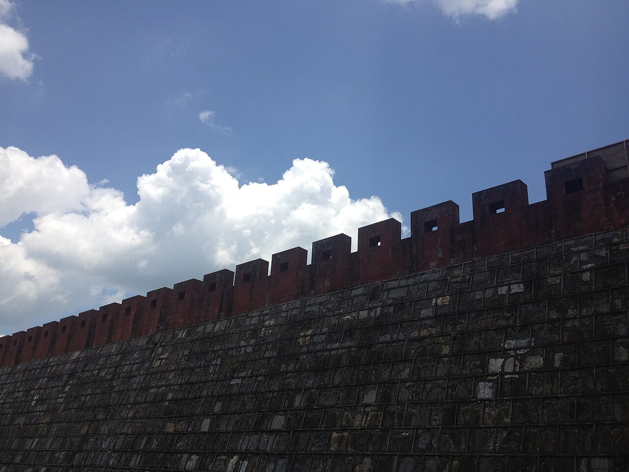
The Miaojiang Great Wall (Chinese: 苗疆长城; pinyin: Miáojiāng Chángchéng or Southern Great Wall, Chinese: 南方长城; pinyin: Nánfāng Chángchéng) is a series of fortifications in Southern China. It is located in the present-day Xiangxi Autonomous Region of Tujia and Miao in the western province of Hunan, China. It is a 190-kilometre (120-mile) wall, the largest part of which is in Fenghuang County. It was built in 1554 during the Ming Dynasty to protect against the minorities in Southern China and was completed in 1662. The wall is 3 metres (9 feet 10 inches) high and 2 metres (6 feet 7 inches) wide.
Text adapted from “Miaojiang Great Wall” on Wikipedia, CC BY-SA 4.0.
View on the interactive castle map →