Palace
Mysłakowice Castle
 Poland · 18th century
- Founded
- c. 1750
- Architect
- Karl Friedrich Schinkel, Friedrich August Stüler, Peter Joseph Lenné
- Heritage status
- immovable monument in Poland
- Location
- Myslakowice
- Coordinates
- 50.8447°, 15.7794°
- Open data
- Wikidata Q19401146
- Links
- Wikimedia Commons
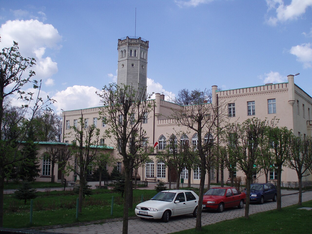
Description
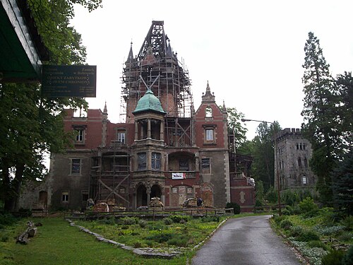
The Palace in Mysłakowice (German: Schloss Erdmannsdorf) is a historic 18th-century palace in the village of Mysłakowice in the Lower Silesian Voivodeship.
Machine-translated from “Pałac w Mysłakowicach” on the Polish Wikipedia, CC BY-SA 4.0.
In the rankings
Mysłakowice Castle ranks #7,051 of 9,902 worldwide in the atlas's castle fame ranking, and #264 of the 455 mapped in Poland. Founded c. 1750, it is older than 17% of the atlas's dated landmarks, one of 757 atlas entries founded in the 18th century. Its Wikipedia articles were opened 893 times in the last 60 days, more than 52% of the atlas. 16 more atlas landmarks stand within 25 km. The nearest day-trip guide is Jelenia Góra, 7 km away. It is one of the 92 landmarks on the atlas's regional map of Lower Silesia. See how Poland compares in the castle statistics.
Castles nearby
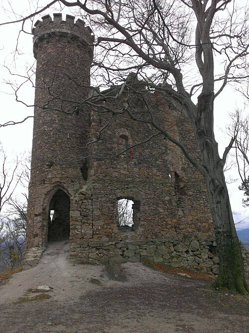
- Henry Castle on Grodna4 km · Poland
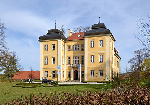
- Łomnica Palace4 km · Poland
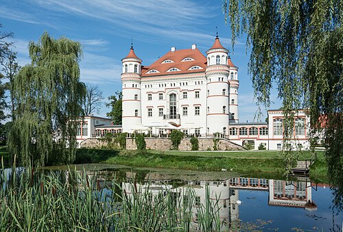
- Palace in Wojanów4 km · Poland
- Palace in Bobrów5 km · Poland
More castles in Poland
- Palace and park ensemble in FalentyPoland · 17th century
- Potocki Palace in KrzeszowicePoland · 19th century
- Palace in OsiekPoland