 Poland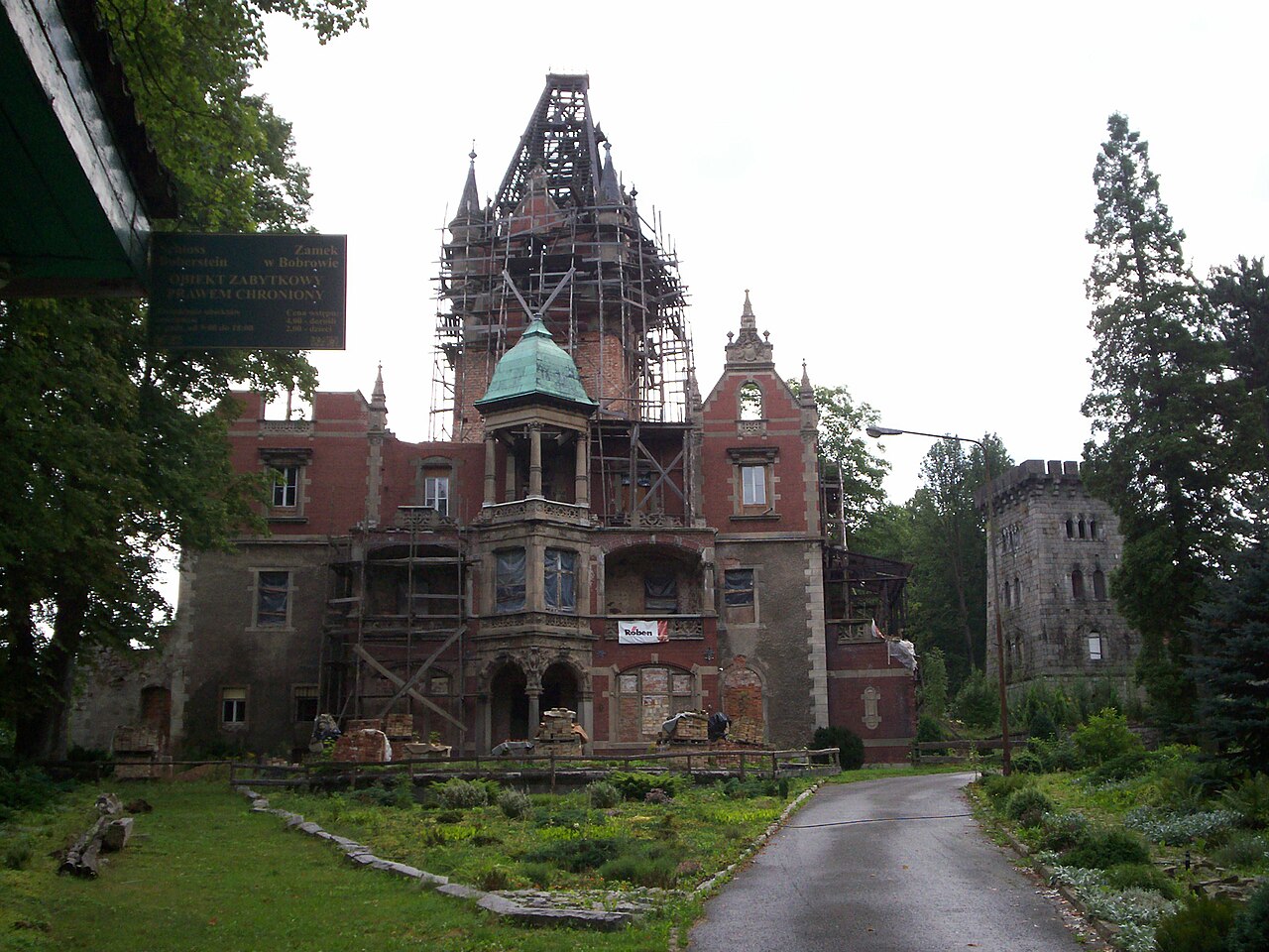
The Palace in Bobrów is a historic palace in the village of Bobrów (Karkonoski County), in Poland, in the Lower Silesian Voivodeship, in the Mysłakowice commune; located on an escarpment above the Bóbr river, on the border of the Rudawy Janowickie, the Jelenia Góra Valley and the Kaczawskie Mountains (Western Sudetes).
Machine-translated from “Pałac w Bobrowie” on the Polish Wikipedia, CC BY-SA 4.0.
Palace in Bobrów ranks #5,902 of 9,079 worldwide in the atlas's castle fame ranking, and #226 of the 398 mapped in Poland. Its Wikipedia articles were opened 1,192 times in the last 60 days, more than 55% of the atlas. 16 more atlas landmarks stand within 25 km. The nearest day-trip guide is Jelenia Góra, 8 km away. It is one of the 80 landmarks on the atlas's regional map of Lower Silesia. See how Poland compares in the castle statistics.
View on the interactive castle map →