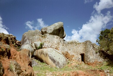
Ruin
Naletale
 Zimbabwe · 17th century
- Founded
- c. 1650
- Heritage status
- Tentative World Heritage Site
- Location
- Matabeleland South Province
- Coordinates
- -19.88111°, 29.53056°
- Open data
- Wikidata Q1193888
- Links
- Wikimedia Commons
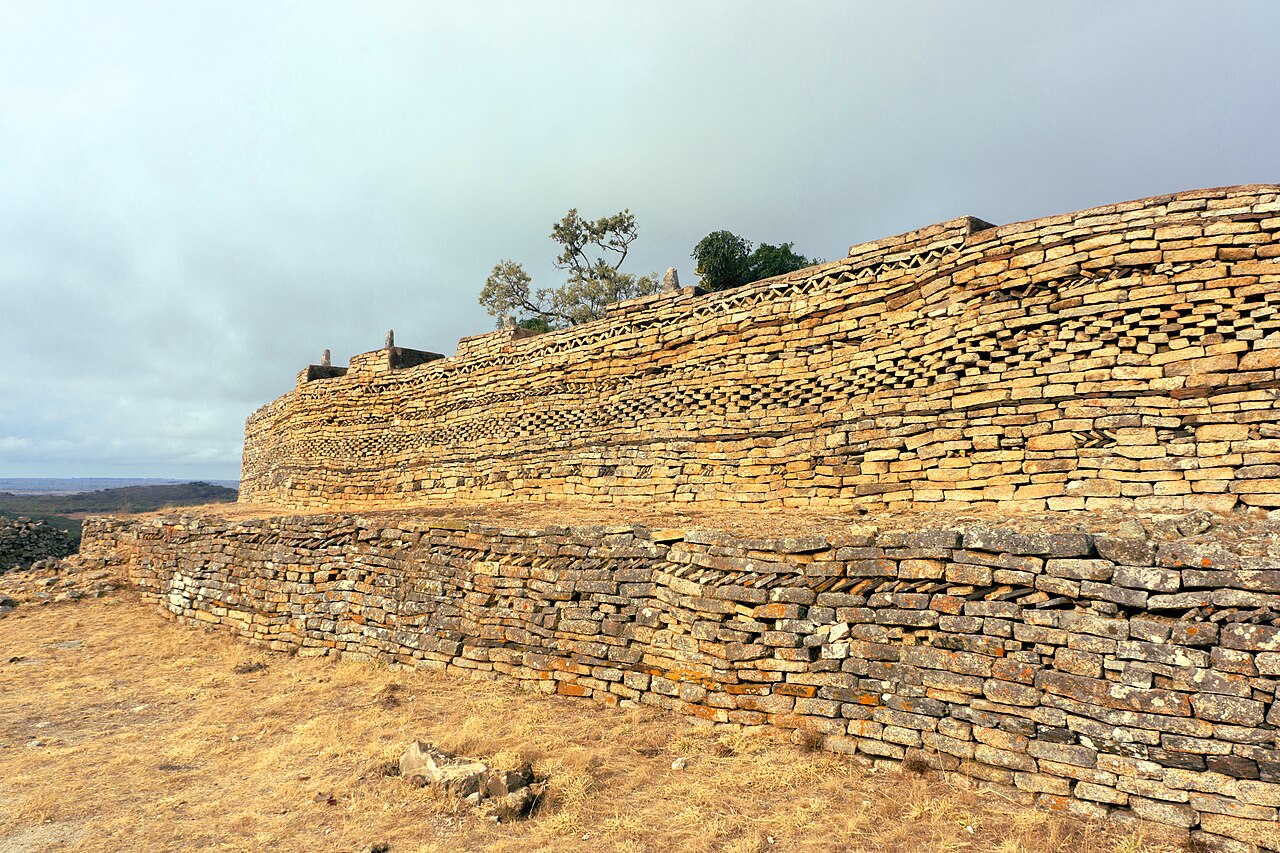
Description
Naletale (or Nalatale) are ruins located about 25 kilometres east of Shangani in Matabeleland South, Zimbabwe and east of the Danangombe ruins, close to the Somabhula Flats.
The ruins are attributed to the Kalanga Torwa State and are thought to date from the seventeenth century, and were occupied through the eighteenth to nineteenth centuries during Rozvi rule. The ruins are the remains of the capital of the Butua kingdom's Torwa dynasty. In 1960, it was declared a national monument.
Text adapted from “Naletale” on Wikipedia, CC BY-SA 4.0.
In the rankings
Naletale ranks #5,605 of 9,902 worldwide in the atlas's castle fame ranking, and #2 of the 2 mapped in Zimbabwe. Founded c. 1650, it is older than 26% of the atlas's dated landmarks, one of 755 atlas entries founded in the 17th century. See how Zimbabwe compares in the castle statistics.
Castles nearby
- Great Zimbabwe153 km · Zimbabwe