Ruin
Nuraghe Losa
 Italy · 14th century BC
- Founded
- c. 1350 BC
- Heritage status
- Italian national heritage
- Location
- Abbasanta
- Visitors
- ≈22,000 (2022)
- Coordinates
- 40.11626°, 8.7929°
- Open data
- Wikidata Q622890
- Links
- OpenStreetMap · Wikimedia Commons
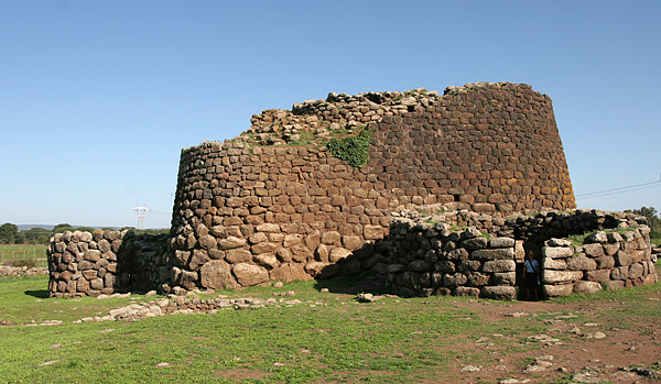
Description
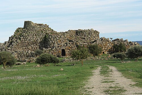
The nuraghe Losa (in Sardinia, close to the village of Abbasanta) is a complex prehistoric building in the shape of a tholos tomb. Its central structure has a triangular shape.
On the west side, a turreted wall is linked to it. The whole built complex is surrounded by a wider wall, which encloses the settlement of the original village of huts and other additional buildings constructed in the late Punic, imperial Roman, late Roman and high Middle Ages periods. The central tower was built in the 14th century BC, while the surrounding walls and towers were built in the 13th century BC.
Text adapted from “Nuraghe Losa” on Wikipedia, CC BY-SA 4.0.
In the rankings
Nuraghe Losa ranks #3,864 of 9,902 worldwide in the atlas's castle fame ranking, and #293 of the 624 mapped in Italy. Founded c. 1350 BC, it is older than 99% of the atlas's dated landmarks, one of 6 atlas entries founded in the 14th century BC. Its Wikipedia articles were opened 1,147 times in the last 60 days, more than 59% of the atlas. Wikidata records about 22,000 visitors in 2022. See how Italy compares in the castle statistics.
Castles nearby
- Castle of Serravalle32 km · Italy
- Nuraghe Santu Antine41 km · Italy
- Su Nuraxi di Barumini49 km · Italy
- Nuraghe Arrubiu66 km · Italy
More castles in Italy
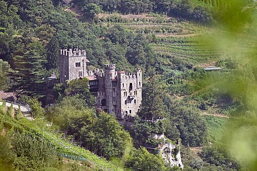
- BrunnenburgItaly · 13th century
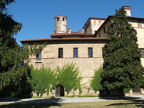
- Castello della MantaItaly · 12th century
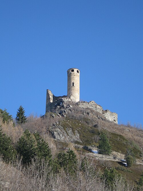
- Châtelard CastleItaly · 13th century
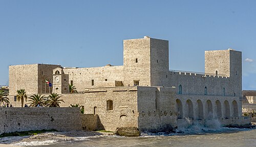
- Castle of TraniItaly · 13th century