🇵🇹 Portugal
Castles near Vila Franca de Xira
25 castles, fortresses, palaces and ruins within 100 km of the city centre — every one on the interactive map, with photos, distances and directions.
The closest is Castle of Saint George, 29 km south-west of the city centre; the most famous is Belém Tower — #41 of 3,708 worldwide — 35 km south-west.
Every one of them stands in Portugal — the country page shows the full national picture.
Day trips: 25–60 km
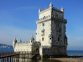
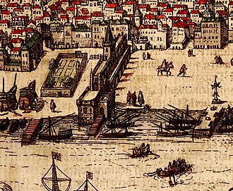
- Belém Tower
35 km south-west · Fortress · #41 worldwide
Belém Tower, officially the Tower of Saint Vincent, is a 16th-century fortification located in Lisbon, Portugal, which served as a point of…
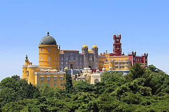
- Pena Palace
40 km south-west · Palace & château · #85 worldwide
The Pena Palace is a Romanticist palace in São Pedro de Penaferrim, in the municipality of Sintra, on the Portuguese Riviera.
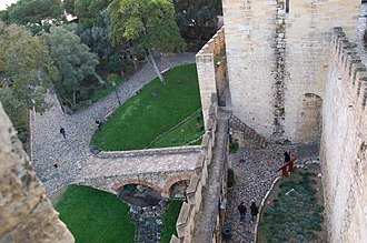
- Castle of Saint George
29 km south-west · Castle · #155 worldwide
São Jorge Castle, sometimes known in English as Saint George's Castle, is a historic castle in the Portuguese capital of Lisbon, located in the…
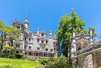
- Quinta da Regaleira
40 km south-west · Palace & château · #255 worldwide
Quinta da Regaleira [ˈkĩtɐ ðɐ ˈʁɨɣɐlɐjɾɐ] is a quinta constructed from 1904 to '10 and located near the historic centre of Sintra, Portugal.
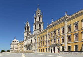
- Palace of Mafra
30 km west · Palace & château · #306 worldwide
The Palace of Mafra, also known as the Palace-Convent of Mafra and the Royal Building of Mafra, is a monumental Baroque and Neoclassical…
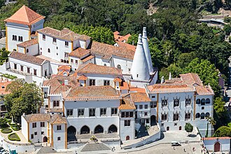
- Sintra National Palace
39 km south-west · Palace & château · #322 worldwide
The Palace of Sintra, also called Town Palace, is located in the town of Sintra, in the Lisbon District of Portugal.
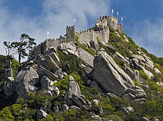
- Castle of the Moors
39 km south-west · Castle · #395 worldwide
The Castle of the Moors is a hilltop medieval castle located in the central Portuguese civil parish of Santa Maria e São Miguel, in the municipality…
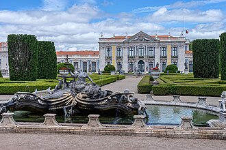
- Palace of Queluz
33 km south-west · Palace & château
The Palace of Queluz is an 18th-century palace located at Queluz, a city of the Sintra Municipality, in the Lisbon District, on the Portuguese…
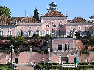
- Belém Palace
34 km south-west · Palace & château
The Belém Palace, officially the National Palace of Belém, is the current official residence of the president of Portugal, the head of state of…
- Castle of Óbidos
48 km north · Castle
The Castle of Óbidos is a well preserved medieval castle located in the civil parish of Santa Maria, São Pedro e Sobral da Lagoa, in the Portuguese…
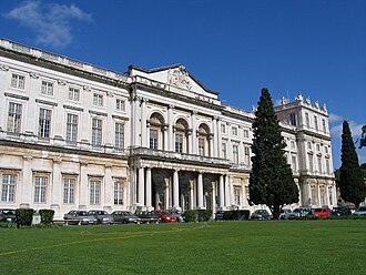
- Palace of Ajuda
33 km south-west · Palace & château
The Palace of Ajuda is a neoclassical monument in the civil parish of Ajuda in the city of Lisbon, central Portugal.
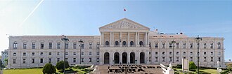
- São Bento Palace
30 km south-west · Palace & château
The São Bento Palace is the seat of the Assembly of the Republic, the parliament of Portugal. It is located in the Estrela district of Lisbon.
+ 4 more in this range — every one is on the interactive map.
Farther afield: 60–100 km
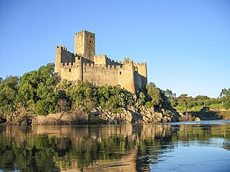
- Castle of Almourol
77 km north-east · Castle
The Castle of Almourol is a medieval castle atop the islet of Almourol in the middle of the Tagus River, located in the civil parish of Praia do…
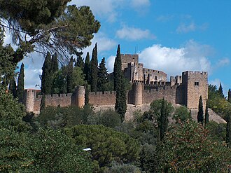
- Castelo de Tomar
87 km north-east · Castle
Tomar Castle is a national monument in the Santarém District of Portugal. Built on a hill above the town of Tomar and the river Nabão on land donated…
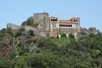
- Castle of Leiria
90 km north · Castle
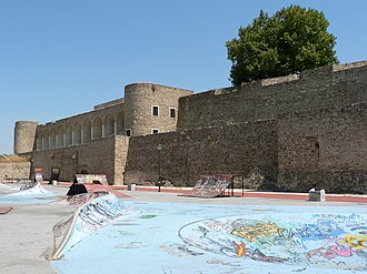
The Castle of Leiria is a medieval castle in the civil parish of Leiria, Pousos, Barreira e Cortes, municipality of Leiria, Beira Litoral.
- Fort of São João Baptista Berlengas
68 km north-west · Fortress
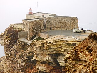
The Fort of São João Baptista das Berlengas, or simply known as the Fort of the Berlengas, is located off western coast of Portugal, on the largest…
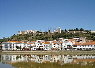
- Castle of Alcácer do Sal
76 km south-east · Castle
The Castle of Alcácer do Sal is a medieval castle located in the civil parish of Alcácer do Sal e Santa Susana, in the municipality of Alcácer do…
- Castle of Abrantes
89 km north-east · Castle
The Castle of Abrantes overlooks the city of Abrantes, in the municipality of Abrantes in the district of Santarém, Ribatejo, divided between the two…
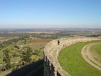
- Castle of Arraiolos
90 km east · Castle
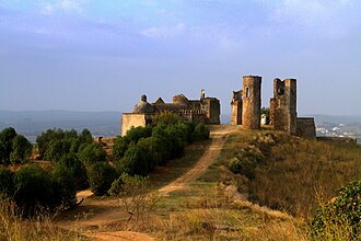
The Castle of Arraiolos is a medieval castle in the civil parish of Arraiolos, municipality of Arraiolos, in the Portuguese district of Évora.
- Castelo de Montemor-o-Novo
75 km south-east · Castle
The Castle of Montemor-o-Novo is a Portuguese castle in the parish of Nossa Senhora da Vila, Nossa Senhora do Bispo e Silveiras, municipality of…
- Castle of Avis
95 km east · Castle
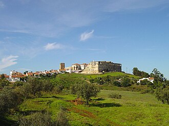
The Castle of Avis is a Portuguese medieval castle in civil parish of Avis, in the municipality of the same name, in the Alentejo district of…
Distances are straight-line from the city centre. City coordinates and population: Wikidata Q917326.
Frequently asked questions
How many castles are near Vila Franca de Xira?
The Castlemap atlas maps 25 landmarks (12 castles · 3 fortresses · 9 palaces & châteaux · 1 ruin) within 100 km of the centre of Vila Franca de Xira, measured straight-line — a curated selection of well-documented landmarks, not a count of every fortification ever built.
What is the closest castle to Vila Franca de Xira?
Castle of Saint George, a castle 29 km south-west of the city centre.
What is the most famous castle near Vila Franca de Xira?
Belém Tower, ranked #41 of 3,708 worldwide in the atlas's fame ranking — 35 km south-west from Vila Franca de Xira.
Nearby city guides: Lisbon (30 km) · Sintra (39 km) · Leiria (89 km) · Badajoz (174 km). See also medieval castles · all rankings · castles by country.