 Spain · 18th century BC
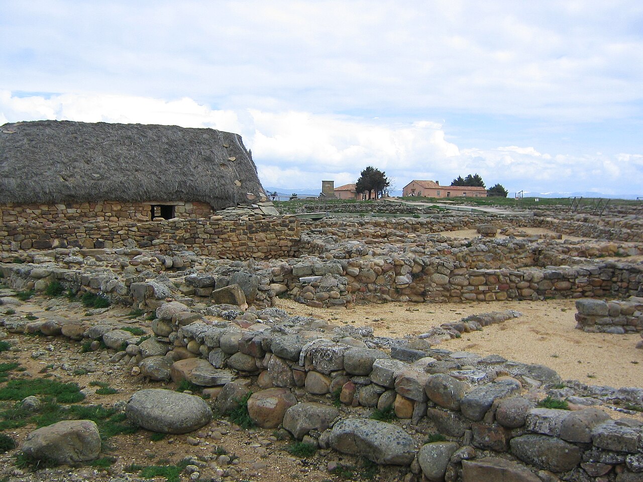
Numantia ranks #140 of 9,040 worldwide in the atlas's castle fame ranking, and #5 of the 606 mapped in Spain. Founded c. 1702 BC, it is older than 99% of the atlas's dated landmarks, one of 6 atlas entries founded in the 18th century BC. Its Wikipedia articles were opened 24,131 times in the last 60 days, more than 98% of the atlas. 1 more atlas landmarks stand within 25 km. See how Spain compares in the castle statistics.
Numantia (in Spanish: Numancia [nuˈman.θja]) is an ancient Celtiberian settlement, whose remains are located on a hill known as Cerro de la Muela in the current municipality of Garray (Soria), Spain.
Numantia is famous for its role in the Celtiberian Wars. In 153 BC, Numantia experienced its first serious conflict with Rome. After twenty years of hostilities, in 133 BC the Roman Senate gave Scipio Aemilianus Africanus the task of destroying Numantia.
Text adapted from “Numantia” on Wikipedia, CC BY-SA 4.0.
View on the interactive castle map →