 Pakistan · 15th century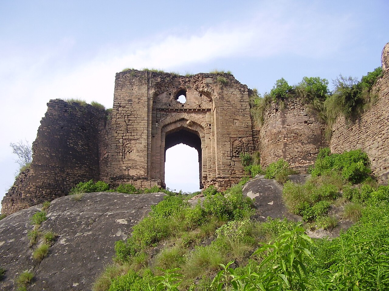
Pharwala Fort (Punjabi:قلعہ پھروالہ) is a 15th-century fort located near Kahuta Tehsil, about 40 km from Rawalpindi in Punjab, Pakistan. The fort is naturally defended on one side by the Himalayan range and on the other by the Soan River. It is spread over an area of 450 acres (1.8 km2), and was once the capital of the Pothohar Chieftaincy.
It is located near the Mai Qumro Mosque in Bagh Juggian, considered the oldest mosque in Islamabad. The mosque is located on the west bank of the Soan River.
Text adapted from “Pharwala Fort” on Wikipedia, CC BY-SA 4.0.
Pharwala Fort ranks #6,058 of 9,035 worldwide in the atlas's castle fame ranking, and #23 of the 31 mapped in Pakistan. Founded c. 1450, it is older than 46% of the atlas's dated landmarks, one of 556 atlas entries founded in the 15th century. 1 more atlas landmarks stand within 25 km. The nearest day-trip guide is Rawalpindi, 27 km away. See how Pakistan compares in the castle statistics.
View on the interactive castle map →