 Pakistan · 17th century
Sangni Fort ranks #6,176 of 9,040 worldwide in the atlas's castle fame ranking, and #26 of the 31 mapped in Pakistan. Founded c. 1624, it is older than 29% of the atlas's dated landmarks, one of 710 atlas entries founded in the 17th century. 1 more atlas landmarks stand within 25 km. The nearest day-trip guide is Rawalpindi, 44 km away. See how Pakistan compares in the castle statistics.
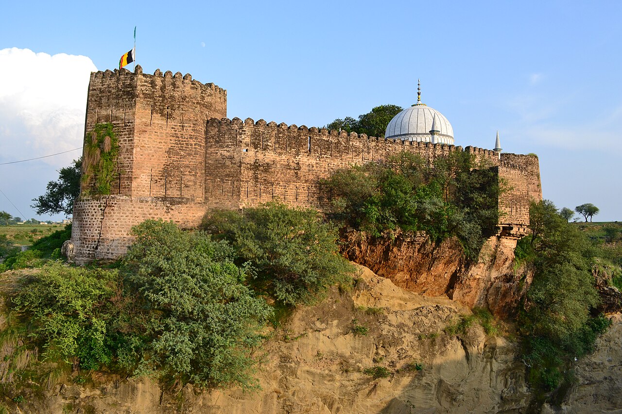
Sangni Fort (Punjabi: سنگنی قلعہ) is an early 17th century Mughal-era fortress located near the Takal village in Kallar Syedan Tehsil, Rawalpindi District, in Punjab, Pakistan.
The fort was built in the Mughal Period (1599–1649). It was built to control the area and to facilitate tax collection. Following the decline of Mughal power in the Potohar region, the area came under the control of the local Gakhars. Despite fierce resistance from the Gakhars, this area eventually came under the control of Sandhawalia Jat ruler Maharaja Ranjit Singh in 1814. The British later made this area part of Bewal. Gradually the fort lost its importance and became obscure. The keepers of a nearby obscure Sufi shrine moved the shrine to this fort.
The fort is in good condition with intact walls but the inside is altered and decorated due to the presence of the Sufi shrine of Sahibzada Abdul Hakeem.
Text adapted from “Sangni Fort” on Wikipedia, CC BY-SA 4.0.
View on the interactive castle map →