 Poland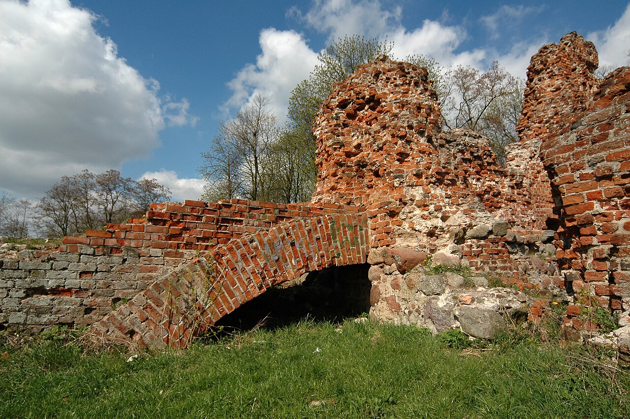
Raciążek Castle – an episcopal castle located in the former town of Raciążek, in Gmina Raciążek, Aleksandrów County, Kuyavian-Pomeranian Voivodeship. Situated on the edge of the Vistula valley. Currently in a state of ruin.
Machine-translated from “Zamek w Raciążku” on the Polish Wikipedia, CC BY-SA 4.0.
Raciążek Castle ranks #8,015 of 9,079 worldwide in the atlas's castle fame ranking, and #323 of the 398 mapped in Poland. 7 more atlas landmarks stand within 25 km. The nearest day-trip guide is Toruń, 23 km away. See how Poland compares in the castle statistics.
View on the interactive castle map →