Castle
Szydłów Castle
 Poland
- Heritage status
- immovable monument in Poland
- Location
- Szydłów
- Coordinates
- 50.59091°, 20.99952°
- Open data
- Wikidata Q9386751
- Links
- Wikimedia Commons
Description
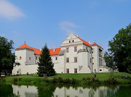
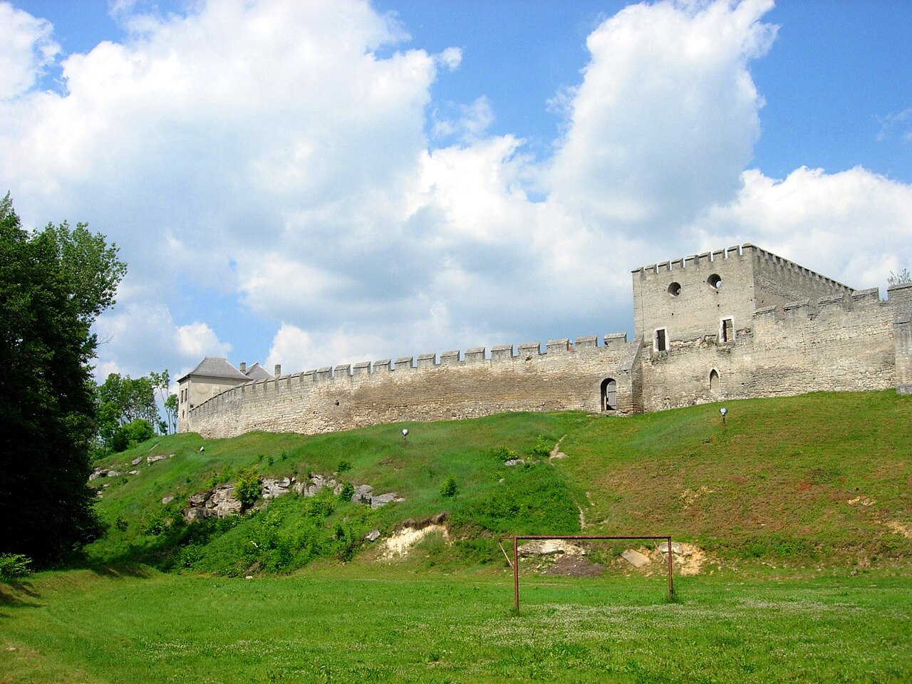
Szydłów Castle is a royal castle in Szydłów. It stands on the escarpment of a hill descending towards the valley of the small river Ciekąca. It lies within the fortifications of the former town. Since 1961 it has housed the Regional Museum in Szydłów.
It had the character of a spacious royal seat, although used only occasionally. This is shown by the large courtyard and the royal palace in the southern part.
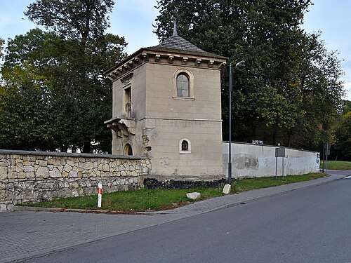
The ruins of the royal palace of about 1400 survive to this day, as does the so-called Skarbczyk (Little Treasury) of the 15th and 16th centuries and a Baroque gatehouse with the remains of the walls separating the castle from the town. On the western side the castle courtyard is closed by circuit walls that form part of the town's defences.
Machine-translated from “Zamek w Szydłowie” on the Polish Wikipedia, CC BY-SA 4.0.
In the rankings
Szydłów Castle ranks #7,373 of 9,902 worldwide in the atlas's castle fame ranking, and #281 of the 455 mapped in Poland. 1 more atlas landmarks stand within 25 km. The nearest day-trip guide is Radom, 92 km away. See how Poland compares in the castle statistics.
Castles nearby
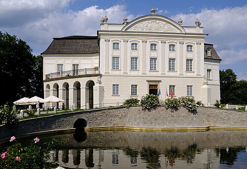
- Kurozwęki Palace7 km · Poland
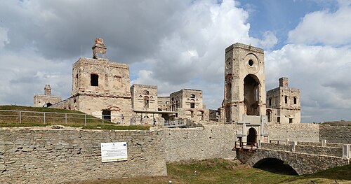
- Krzyżtopór26 km · Poland
- Konary Castle28 km · Poland
- Castle in Pinczów34 km · Poland
More castles in Poland
- Szydłowiec CastlePoland · 15th century
- Papowo Biskupie CastlePoland · 13th century
- Janowiec Castle (Lubusz)Poland · 15th century
- Chrzelice CastlePoland · 14th century