 India
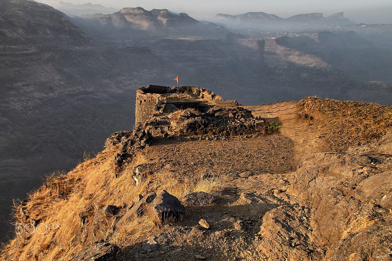
Rajmachi Fort ranks #2,386 of 9,040 worldwide in the atlas's castle fame ranking, and #92 of the 223 mapped in India. Its Wikipedia articles were opened 3,553 times in the last 60 days, more than 81% of the atlas. 3 more atlas landmarks stand within 25 km. The nearest day-trip guide is Pune, 59 km away. See how India compares in the castle statistics.
Rajmachi Fort (Killa) is a historical fort in the hills of the Sahyadri mountains (Western Ghats). It consists of two twin fortresses Shriwardhan and Manaranjan, with a wide machi (plateau) surrounding the two Balekillas. Udhewadi is a small village of about 60 households (as per 2011 census report) situated on the machi, at the southern foot of Manaranjan Balekilla of Rajmachi Fort.
The fort played a strategic role in the First Anglo-Maratha War. Rajmachi Fort has been declared as a protected monument.
Text adapted from “Rajmachi” on Wikipedia, CC BY-SA 4.0.
View on the interactive castle map →