Fortress
Tung Fort
🇮🇳 India · 16th century
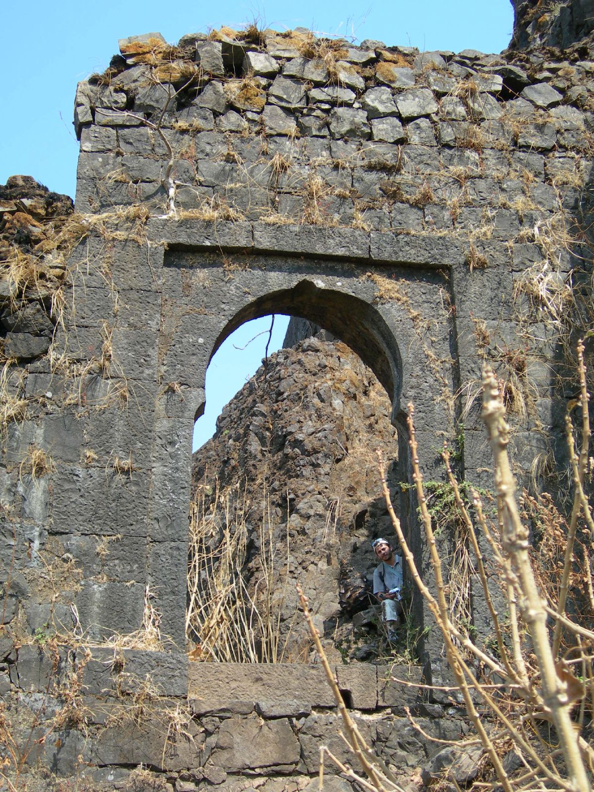
Tung Fort (or Kathingad; difficult fort in Marathi) is a hill fort in Pune District, India.
It is about 12 km from Malavli railway station and can also be approached from Lonavala. Tung Fort has an elevation of 1075 m above sea level. Since Pawna was built, it is now surrounded by water on three sides. One can ferry across in a boat from Pawna dam to its base village, Tungi.
Tung fort is also named Kathingad fort. The word "Kathin" in Marathi means difficult. While climbing, one can experience the difficult challenge of reaching this fort. The fort is conical and has steep climbs with a very narrow route on the edge of the mountain throughout. From Pawana dam, reaching this fort requires a 400-metre climb.
From Lonavala, one can reach the base village Tungwadi around 20 km via Bushy Dam-INS Shivaji-Peth Shahapur-Tungwadi. From Tungwadi village, reaching this fort requires about a 300-metre climb.
Tung Fort was built before 1600 CE. It was built by the Adil Shahi dynasty but was captured by Chatrapati Shivaji Maharaj. It is a small fort, and able to hold not more than 200 troops at a time. As such, it would not have been able to defend itself on its own for a long time.It was one of the forts surrendered by Shivaji to the Mughals under the Treaty of Purandar (1665).
Its shape and structure suggest that its main function was as a watchtower overlooking Maval region of the Pawana and Mulshi valleys guarding the road to Pune city. The Dhamale family, one of the Deshmukh from the Maval region, was charged with ensuring the security of Tung Fort. During invasion, it served to provide a temporary distraction for invaders. Thus, the major forts of Visapur and Lohagad would have time to prepare themselves to meet the invading army.
Its sharp, conical peak makes Tung Fort a prominent landmark, even from a distance. It has an oval shape, thick walls and numerous bastions. A steep climb on grassy slopes leads to the ruins of a temple at the summit. A rocky staircase leads several feet down to a water reservoir. From the top of the fort, the Lohagad, Visapur, Tikona and Korigad forts are clearly visible.
Text adapted from “Tung Fort” on Wikipedia, CC BY-SA 4.0.
Tung Fort ranks #4,427 of 8,764 worldwide in the atlas's castle fame ranking, and #160 of the 220 mapped in India. Founded c. 1600, it is older than 33% of the atlas's dated landmarks — one of 827 atlas entries founded in the 16th century. Its Wikipedia articles were opened 1,371 times in the last 60 days, more than 58% of the atlas. 3 more atlas landmarks stand within 25 km. The nearest day-trip guide is Pune, 44 km away. See how India compares in the castle statistics.
View on the interactive castle map →Frequently asked questions
Where is Tung Fort?
Tung Fort stands in India, at 18.6603°, 73.4631°.
When was Tung Fort built?
The atlas dates its founding to c. 1600. Earlier structures may have stood on the site; this is the earliest documented founding year.
How famous is Tung Fort?
In this atlas's fame ranking: #4,427 of 8,764 worldwide, and #160 in India. Fame here combines how many Wikipedia language editions cover a landmark with how many people read them.
What is the nearest castle to Tung Fort?
Lohagad, about 6 km away.
More castles in India
- Vattakottai Fort India · 18th century
- Zafar Mahal India · 18th century
- Fort St. Anthony of Simbor India · 18th century
- Jivdhan India
More fortresses
- Van der Wijck Fort Indonesia
- Venetian Walls of Bergamo Italy · 16th century
- Lascaris Battery Malta · 19th century
- Citadel of Cascais Portugal · 15th century