Ruin
Riwa Fort
🇮🇳 India
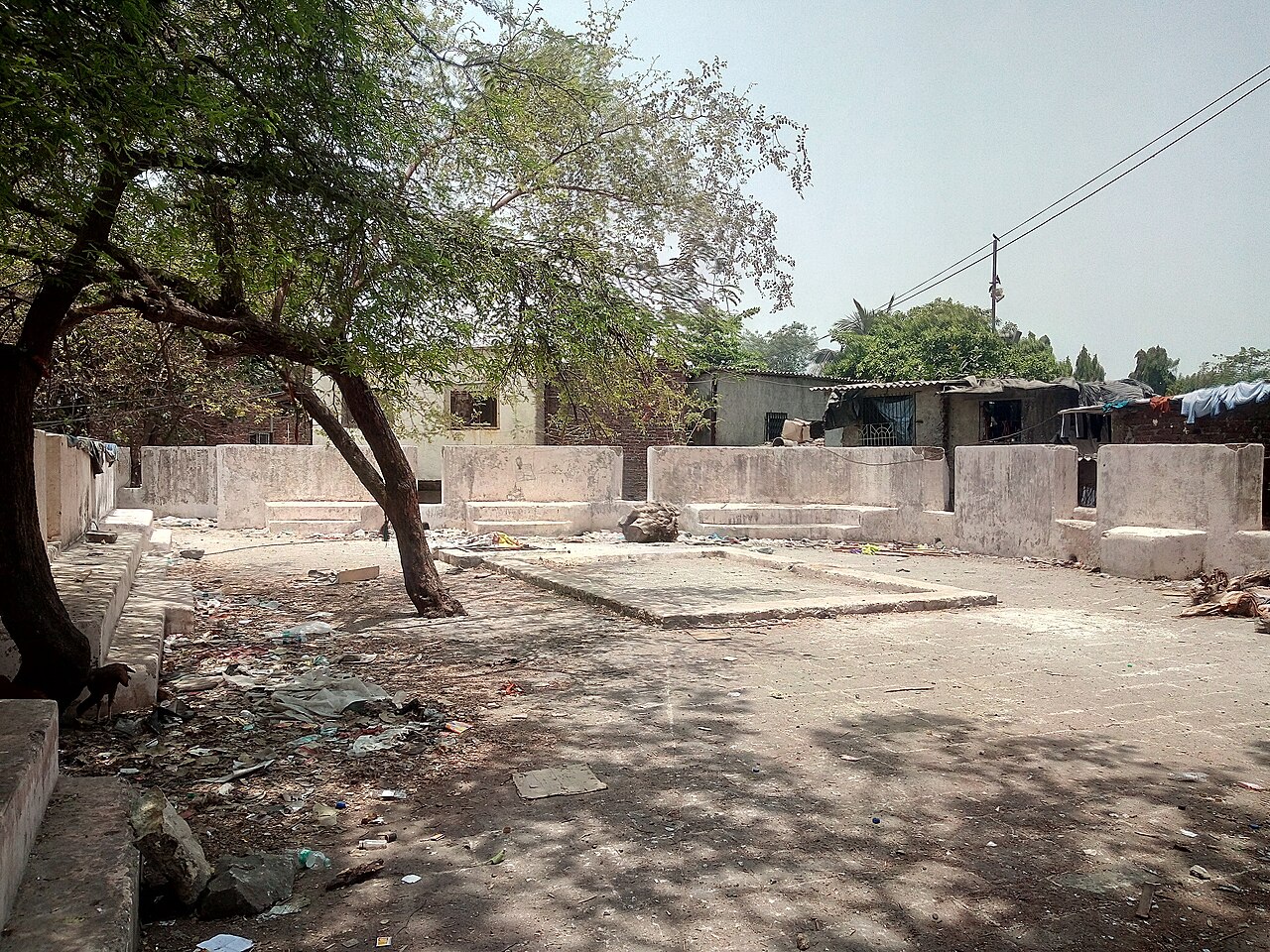
The Riwa Fort (also Fort), locally known as Kala Qilla or Black Fort, is a fort in central Mumbai (Bombay), India on the banks of the Mithi River. The fort is currently in a dilapidated condition amidst the Dharavi slums. Dharavi was initially a large piece of marshy land that was located strategically, dividing the lands ruled by the British and the Portuguese. John Horne, the then Governor of Bombay, had commissioned the construction of this fort to protect Bombay from the aggressive sea-faring Maratha leader Kanhoji Angre. The Riwa Fort was later captured by the Marathas.
The fort falls under the jurisdiction of the Maharashtra Directorate of Archaeology and Museums.
Text adapted from “Riwa Fort” on Wikipedia, CC BY-SA 4.0.
Riwa Fort ranks #5,137 of 8,134 worldwide in the atlas's castle fame ranking, and #154 of the 179 mapped in India. 6 more atlas landmarks stand within 25 km. The nearest day-trip guide is Mumbai, 3 km away. See how India compares in the castle statistics.
View on the interactive castle map →Frequently asked questions
Where is Riwa Fort?
Riwa Fort stands in India, at 19.05111°, 72.85998°.
How famous is Riwa Fort?
In this atlas's fame ranking: #5,137 of 8,134 worldwide, and #154 in India. Fame here combines how many Wikipedia language editions cover a landmark with how many people read them.
What is the nearest castle to Riwa Fort?
Mahim Fort, about 3 km away.
More castles in India
- Anchuthengu Fort India · 17th century
- Thirumalai Nayakkar Mahal India · 17th century
- Tipu Sultan's Summer Palace India · 18th century
- Hazarduari Palace India · 19th century
More ruins
- Castle of Lochstädt Russia
- Observatory Bistrik kula Bosnia and Herzegovina
- Zaslaŭje Castle Belarus · 16th century
- Bewcastle Castle England · 14th century