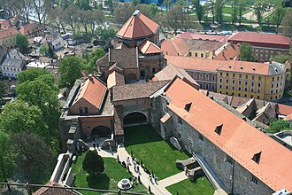
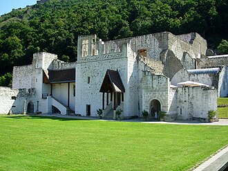
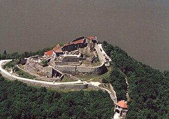
North of Budapest the Danube turns hard south between two ranges of hills, and the bend was the centre of the Hungarian kingdom before the Ottomans came: Esztergom was the royal seat and is still the primate’s, and Visegrád’s citadel and river-level palace were where Charles I held the 1335 congress of kings. The Ottomans took the lot in the 16th century and most of what stands is what was dug back out afterwards.
What this atlas maps on the Danube Bend route
That is every atlas landmark within 12 km of the line, spanning 13th century to 20th century. Nobody picked them: the geography did.
The best known is Buda Castle, ranked 82 of the 9,035 landmarks in the atlas by Wikipedia presence and real readership. The oldest is Esztergom Castle, founded c. 1225.
The route runs through Hungary.
Travelling it
Road 11 runs down the right bank from Esztergom through Visegrád and Szentendre into Budapest, and the summer boats do the same trip in about five hours.
Day-trip guides for the towns and cities along it: Budapest.
See the route on the map →