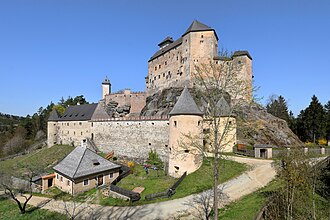
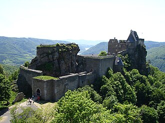
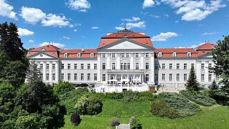
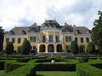
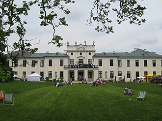
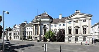
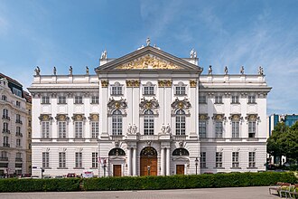
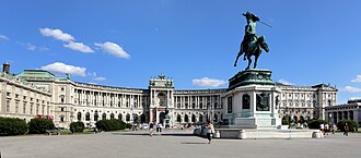
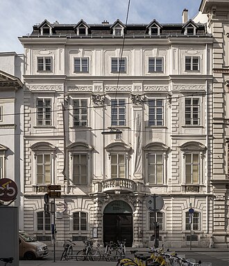
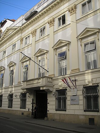
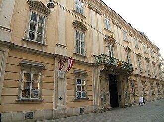
The Wachau is the 36-kilometre defile the Danube cuts between Melk and Krems, terraced with vineyards and topped with castles, and it is a UNESCO World Heritage Site. Its most famous ruin is Dürnstein, where Richard the Lionheart was held for ransom over the winter of 1192 on his way home from the Third Crusade. East of the gorge the river opens out and the route runs on into Vienna past the Habsburg palaces.
What this atlas maps on the Wachau Danube route
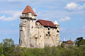
They are the 28 best known of the 39 landmarks this atlas maps within 14 km of the line, spanning 12th century to 20th century.
The best known is Schönbrunn Palace, ranked 17 of the 9,035 landmarks in the atlas by Wikipedia presence and real readership. The oldest is Dürnstein castle ruins, founded 1130.
The route runs through Austria.
Travelling it
A boat is the honest way to see the gorge, and the Danube cycle path runs both banks; the B3 takes the north side by car, and the Wachaubahn stops at Dürnstein and Spitz.
Day-trip guides for the towns and cities along it: Vienna · St. Pölten.
See the route on the map →