Castle
Runder Berg
🇩🇪 Germany
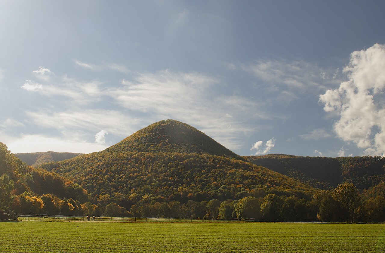
Runder Berg is a mountain in Baden-Württemberg, Germany.
It is an oval hill (711 m above sea level) in the Swabian Alb and 250 meters above the valley. On a plateau about 0.45 hectares in size prehistoric and hilltop settlements have been found including the castle of a minor Alemanni king of the 4th and 5th centuries. Excavations were carried out on the entire mountain and on a terrace on a slope in 1967–1984.
Text adapted from “Runder Berg” on Wikipedia, CC BY-SA 4.0.
Runder Berg ranks #5,194 of 8,133 worldwide in the atlas's castle fame ranking, and #395 of the 505 mapped in Germany. 5 more atlas landmarks stand within 25 km. The nearest day-trip guide is Stuttgart, 35 km away. See how Germany compares in the castle statistics.
View on the interactive castle map →Frequently asked questions
Where is Runder Berg?
Runder Berg stands in Germany, at 48.48972°, 9.365°.
How famous is Runder Berg?
In this atlas's fame ranking: #5,194 of 8,133 worldwide, and #395 in Germany. Fame here combines how many Wikipedia language editions cover a landmark with how many people read them.
What is the nearest castle to Runder Berg?
Hohenneuffen Castle, about 8 km away.
More castles in Germany
- Sababurg Germany · 14th century
- Rochlitz Castle Germany · 11th century
- Runkel Castle Germany · 11th century
- Bladenhorst Castle Germany · 13th century
More castles
- Château de Salignac France · 11th century
- Sigmundskron Castle Italy · 10th century
- Taufers Castle Italy · 13th century
- Šternberk Castle Czech Republic · 13th century