 Romania · 14th century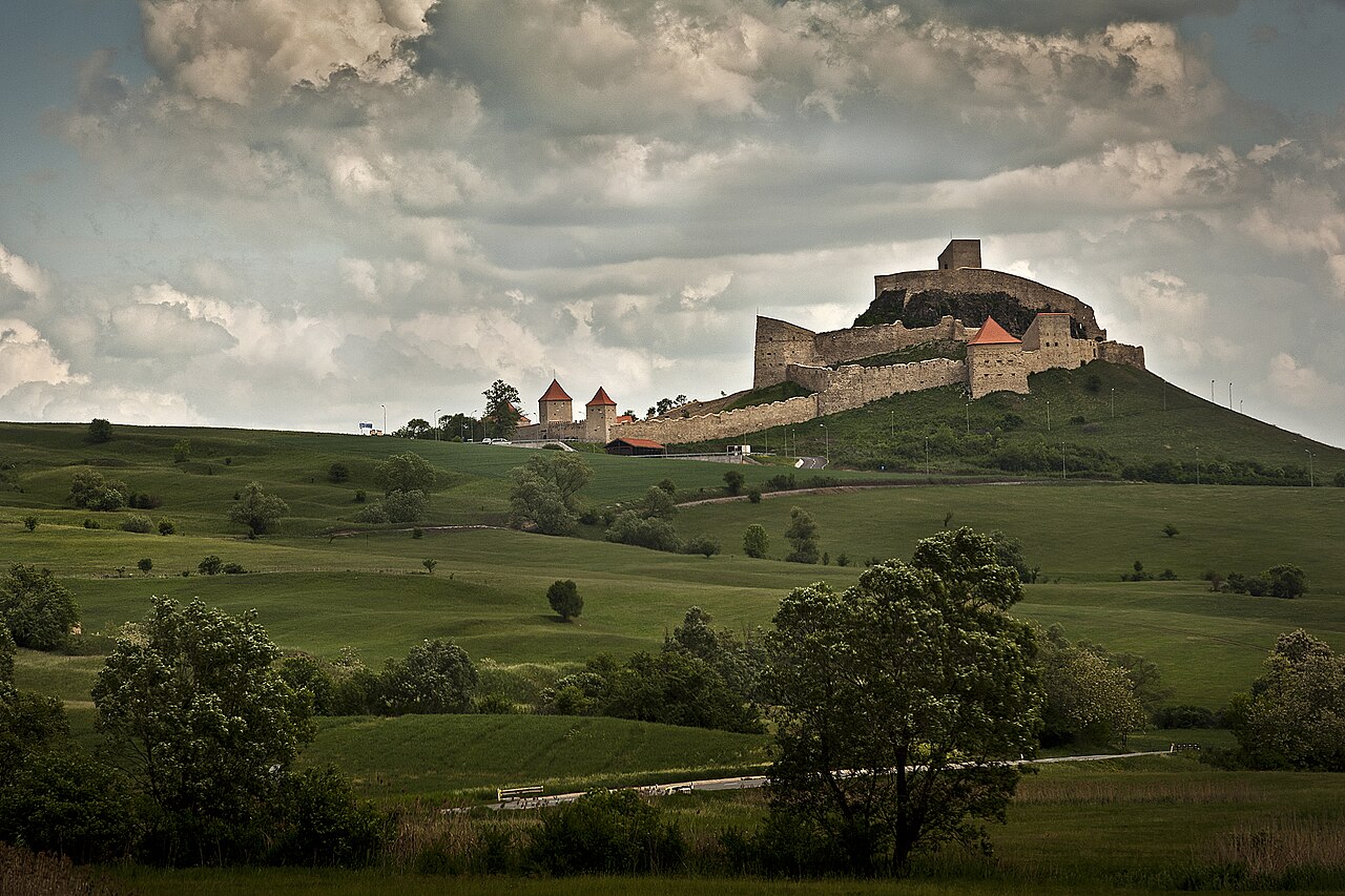
Rupea Fortress (Romanian: Cetatea Rupea, German: Burg Reps, Hungarian: Kőhalmi vár) is a medieval fortress built by Transylvanian Saxons in the Kingdom of Hungary and first mentioned by a 1324 document. It is situated on a 120 m high basalt cliff, to the west of the Transylvanian town of Rupea in Romania. The fortress is located on DN13, 70 km from Brașov, on the road to Sighișoara. Following a period of restoration from 2010 to 2013, the fortress had over 10,000 monthly visitors by 2014.
Text adapted from “Rupea Fortress” on Wikipedia, CC BY-SA 4.0.
Rupea Citadel ranks #1,987 of 9,035 worldwide in the atlas's castle fame ranking, and #24 of the 125 mapped in Romania. Founded 1324, it is older than 59% of the atlas's dated landmarks, one of 757 atlas entries founded in the 14th century. Its Wikipedia articles were opened 4,398 times in the last 60 days, more than 85% of the atlas. 3 more atlas landmarks stand within 25 km. The nearest day-trip guide is Brașov, 53 km away. It is one of the 78 landmarks on the atlas's regional map of Transylvania. See how Romania compares in the castle statistics.
View on the interactive castle map →