 Romania · 16th century
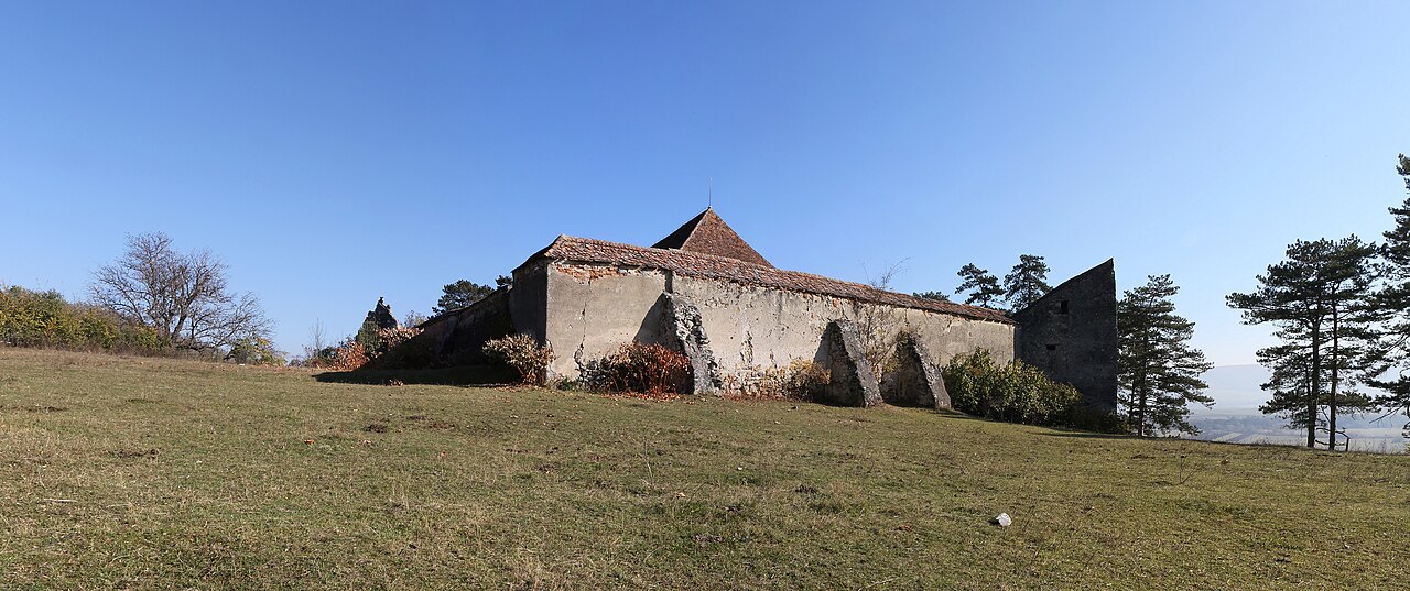
The fortified church in Ungra is an ensemble of historic monuments situated on the territory of the locality of Ungra. In the National Archaeological Repertory the monument appears with the code 42165.06. The ensemble is made up of two monuments:
Evangelical church, 13th–19th century (LMI code BV-II-m-B-11836.01) Fortified enclosure with three towers and outbuildings, 16th century (LMI code BV-II-m-B-11836.02)
Machine-translated from “Biserica fortificată din Ungra” on the Romanian Wikipedia, CC BY-SA 4.0.
Fortified church in Ungra ranks #8,896 of 9,035 worldwide in the atlas's castle fame ranking, and #121 of the 125 mapped in Romania. Founded c. 1550, it is older than 36% of the atlas's dated landmarks, one of 886 atlas entries founded in the 16th century. 3 more atlas landmarks stand within 25 km. The nearest day-trip guide is Brașov, 46 km away. It is one of the 78 landmarks on the atlas's regional map of Transylvania. See how Romania compares in the castle statistics.
View on the interactive castle map →