 Germany · 10th century
Scharzfels Castle ranks #6,049 of 9,040 worldwide in the atlas's castle fame ranking, and #534 of the 714 mapped in Germany. Founded c. 950, it is older than 92% of the atlas's dated landmarks, one of 192 atlas entries founded in the 10th century. 2 more atlas landmarks stand within 25 km. See how Germany compares in the castle statistics.
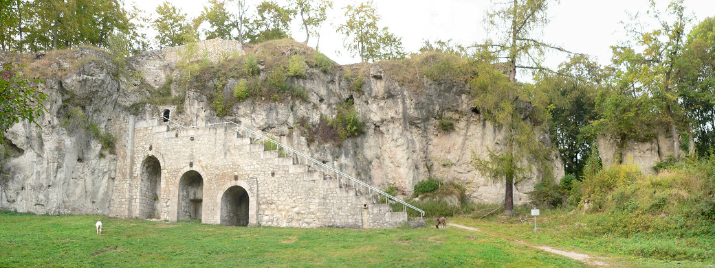
Scharzfels Castle (German: Burgruine Scharzfels) is the medieval ruin of a fortification located east of the village of Scharzfeld in the borough of Herzberg am Harz in central Germany. It lies in a wood on a ridge about 150 m above the Oder valley. For centuries after its construction in the 10th or 11th century it remained an impregnable fortress. The inner ward is built on a dolomite rock outcrop about 20 m high. The castle was first captured after a siege in 1761 during the Seven Years' War and then blown up.
Text adapted from “Scharzfels Castle” on Wikipedia, CC BY-SA 4.0.
View on the interactive castle map →