Palace
Schloss Klaus
 Austria
- Heritage status
- Listed objects in Austria
- Location
- Klaus an der Pyhrnbahn
- Coordinates
- 47.8236°, 14.1547°
- Open data
- Wikidata Q1576411
- Links
- OpenStreetMap · Wikimedia Commons
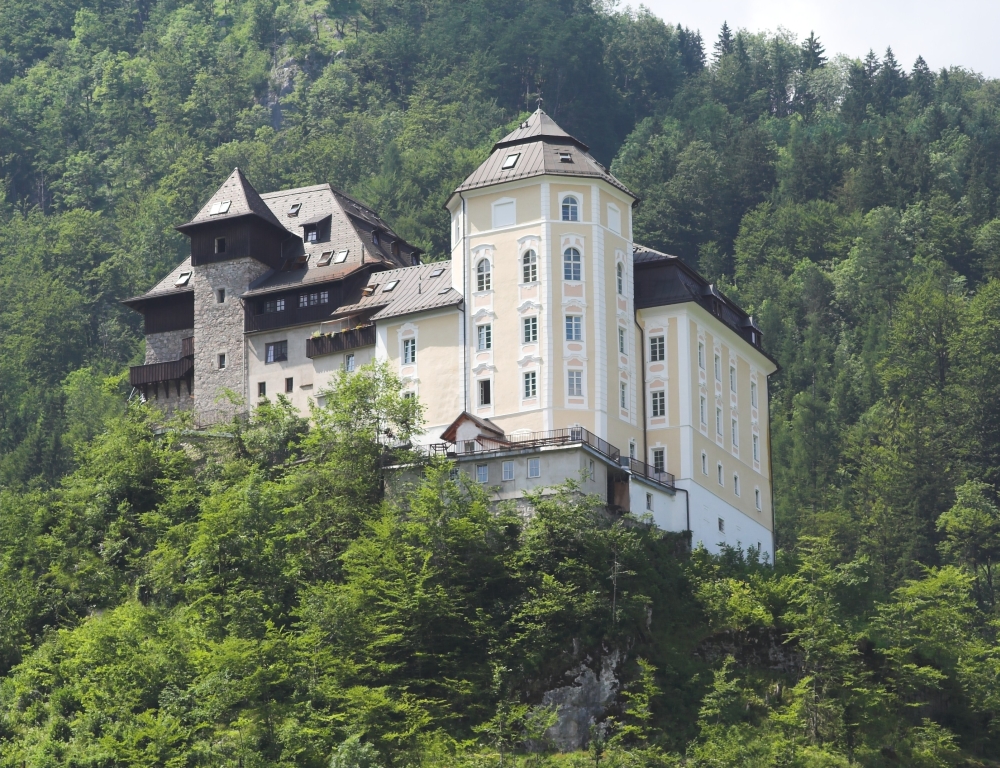
Description
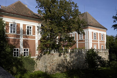
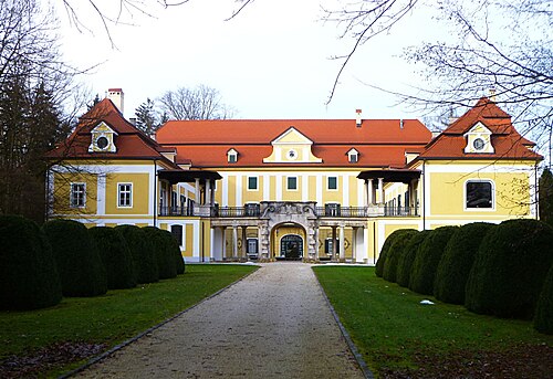
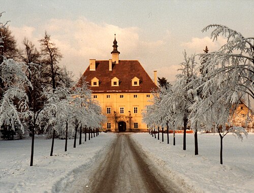
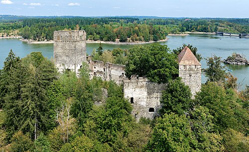
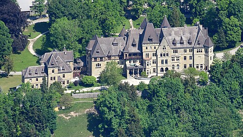
Schloss Klaus is a castle complex in Upper Austria whose beginnings go back to the 12th century and which today houses a Protestant youth leisure centre and educational house. The complex lies on a rock outcrop in the Steyr valley, at the foot of the Brennet mountain, the southernmost spur of the Kremsmauer.
Machine-translated from “Schloss Klaus” on the German Wikipedia, CC BY-SA 4.0.
In the rankings
Schloss Klaus ranks #8,404 of 9,902 worldwide in the atlas's castle fame ranking, and #284 of the 316 mapped in Austria. 2 more atlas landmarks stand within 25 km. The nearest day-trip guide is Linz, 55 km away. See how Austria compares in the castle statistics.
Castles nearby
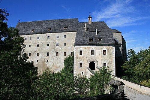
- Burg Altpernstein7 km · Austria
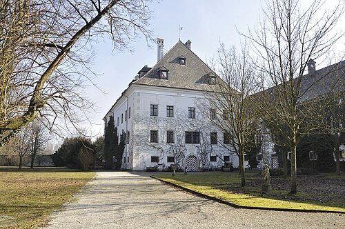
- Schloss Neu-Scharnstein17 km · Austria
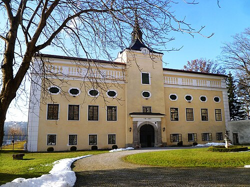
- Schloss Kremsegg26 km · Austria
- Schloss Cumberland28 km · Austria
More castles in Austria
- Schloss SchrattenthalAustria · 13th century
- Schloss KoglAustria
- Schloss LiechtensteinAustria
- Ruine LichtenfelsAustria · 12th century