 Lebanon
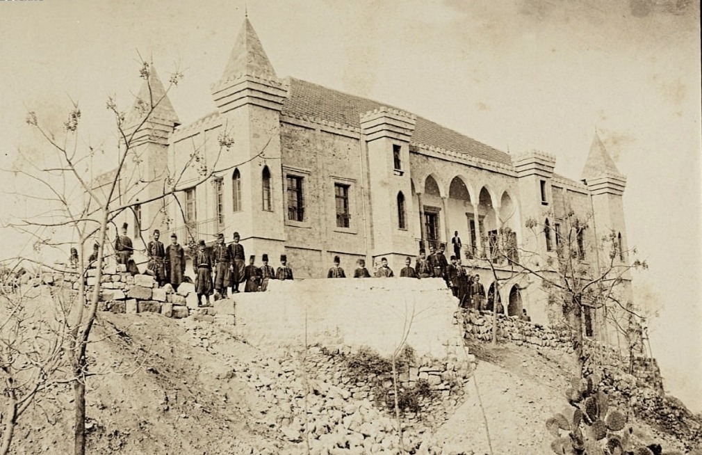
Seraglio of Baabda ranks #8,084 of 9,040 worldwide in the atlas's castle fame ranking, and #17 of the 17 mapped in Lebanon. 5 more atlas landmarks stand within 25 km. The nearest day-trip guide is Beirut, 6 km away. It is one of the 105 landmarks on the atlas's regional map of the Levant. See how Lebanon compares in the castle statistics.
The Seraglio of Baabda (Arabic: سراي بعبدا; also Baabda serail), is a historic building located in Baabda, Lebanon, and is one of the country's oldest official buildings. This particular seraglio played a key role in Lebanon's history between 1860 and 1916, during the period of the Mount Lebanon Mutasarrifate (itself ruled by the Ottoman Empire). Built of sandstone, the palace features castle-like architecture, with four corner towers, and a surface area of 7,852 m2 (84,520 sq ft) spread over two floors surrounding an inner courtyard. Today, the seraglio houses the headquarters of the Mount Lebanon Governorate, as well as several administrative offices. The building requires extensive restoration; it was listed as a historic monument in 2008.
Text adapted from “Seraglio of Baabda” on Wikipedia, CC BY-SA 4.0.
View on the interactive castle map →