Ruin
Sigiburg
 Germany · 7th century
- Founded
- c. 700
- Heritage status
- architectural heritage monument
- Location
- Hörde
- Coordinates
- 51.42°, 7.48694°
- Open data
- Wikidata Q25247879
- Links
- OpenStreetMap · Wikimedia Commons
Description
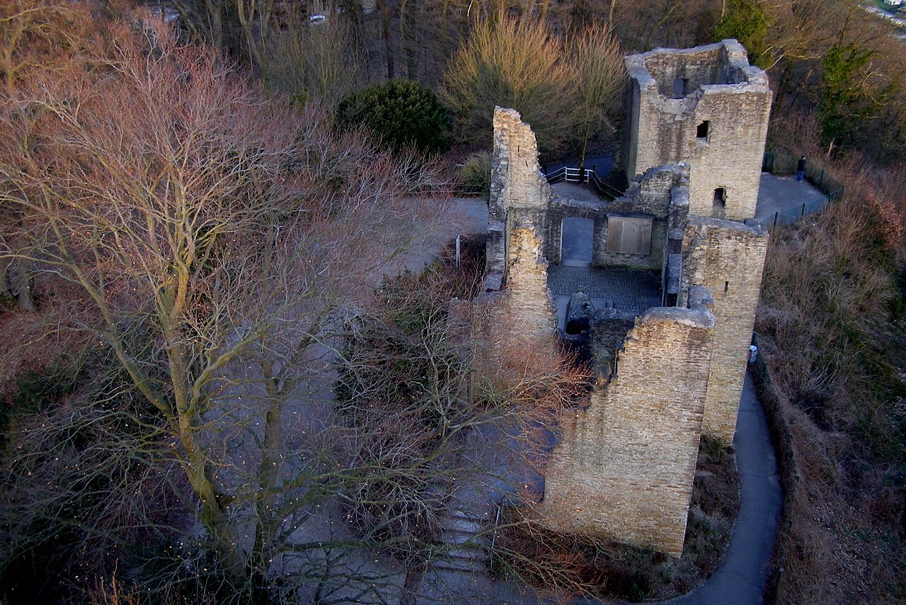
The Sigiburg was a Saxon hillfort in Western Germany, overlooking the River Ruhr near its confluence with the River Lenne.
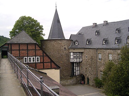
The ruins of the later Hohensyburg castle now stand on the site, which is in Syburg, a neighbourhood in the Hörde district of Dortmund. Archaeological evidence suggests the site was occupied in the Neolithic era.
The hillfort was raised ca. 700 by Westphalian Saxons. During the Saxon Wars, it was taken by the Franks under Charlemagne in 772, retaken by the Saxons (possibly under Widukind) in 774, and taken again and refortified by Charlemagne in 775.
Text adapted from “Sigiburg” on Wikipedia, CC BY-SA 4.0.
In the rankings
Sigiburg ranks #4,228 of 9,902 worldwide in the atlas's castle fame ranking, and #351 of the 927 mapped in Germany. Founded c. 700, it is older than 96% of the atlas's dated landmarks, one of 41 atlas entries founded in the 7th century. Its Wikipedia articles were opened 5,180 times in the last 60 days, more than 88% of the atlas. 11 more atlas landmarks stand within 25 km. The nearest day-trip guide is Wuppertal, 27 km away. See how Germany compares in the castle statistics.
Castles nearby
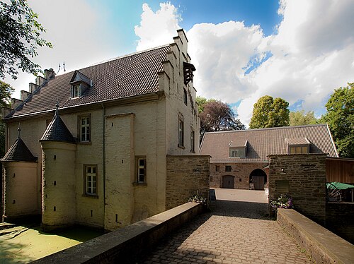
- Schloss Werdringen6 km · Germany
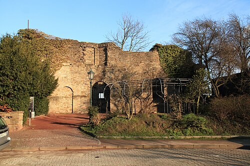
- Burg Wetter7 km · Germany
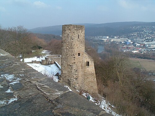
- Burg Volmarstein9 km · Germany
- Hohenlimburg Castle10 km · Germany
More castles in Germany
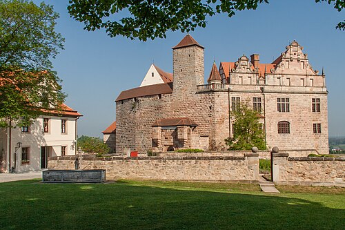
- Burg CadolzburgGermany
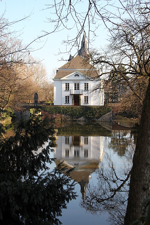
- WeißhausGermany
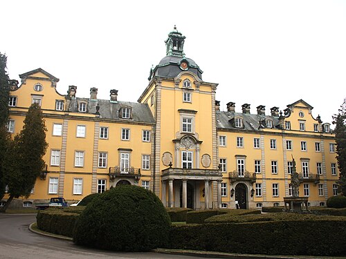
- Schloss BückeburgGermany
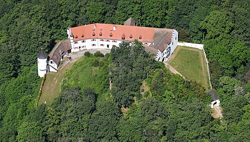
- Schloss NeidsteinGermany · 16th century