 Germany · 13th century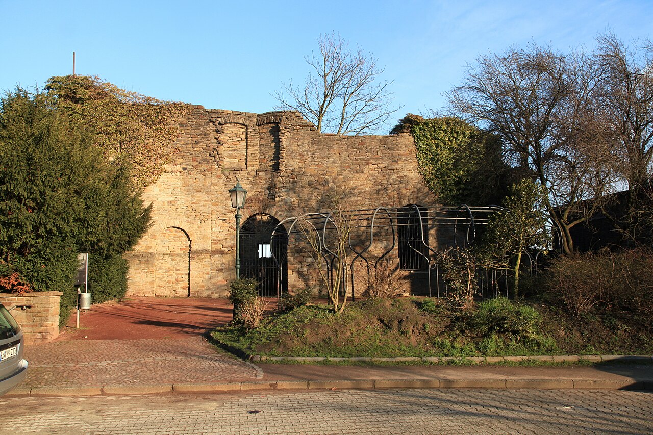
Burg Wetter on the Harkortsee at about 100 metres above sea level in the town of Wetter (Ruhr) was among the most important castles of the Ruhr valley. Today it is a ruin and lies near the town hall of Wetter within the area of the historic Freiheit Wetter on a foothill of the Ardey Hills. From here the Counts of the Mark administered their possessions on the Ruhr.
The hill castle ruin and the castle tower, the ruin of the keep, are entered as architectural monuments Nos. 24 and 25 in the monument list of Wetter. The complex is a site on the Route der Industriekultur.
Machine-translated from “Burg Wetter” on the German Wikipedia, CC BY-SA 4.0.
Burg Wetter ranks #6,402 of 9,079 worldwide in the atlas's castle fame ranking, and #565 of the 711 mapped in Germany. Founded 1250, it is older than 67% of the atlas's dated landmarks — one of 1080 atlas entries founded in the 13th century. 7 more atlas landmarks stand within 25 km. The nearest day-trip guide is Wuppertal, 20 km away. See how Germany compares in the castle statistics.
View on the interactive castle map →