 Ireland
Tinnahinch Castle ranks #6,852 of 9,040 worldwide in the atlas's castle fame ranking, and #137 of the 178 mapped in Ireland. 8 more atlas landmarks stand within 25 km. The nearest day-trip guide is Waterford, 33 km away. See how Ireland compares in the castle statistics.
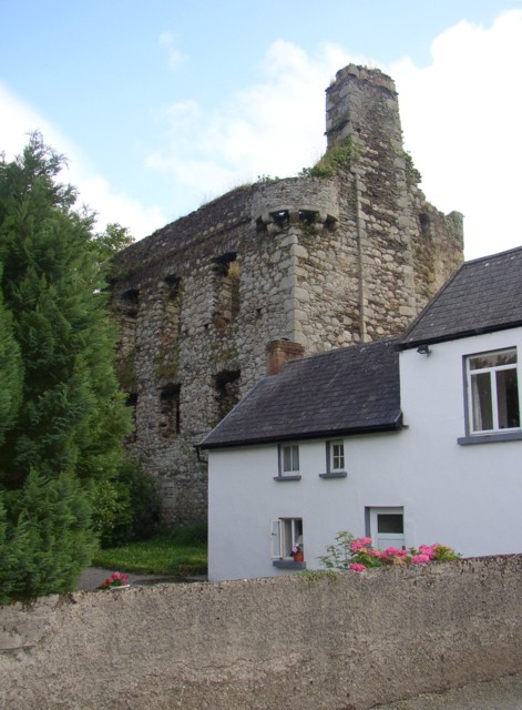
Tinnahinch Castle (Irish: Caislean Tigh na hInse) is a ruined tower house located near River Barrow in Tinnahinch, County Carlow, Ireland. It has a rectangular structure with a stair tower at the southwest angle, a machicolation between the angles of the two towers protecting the doorway, and a bartizan on the north east angle. All of the windows in the north wall have been stolen.
At the eastern corner nearest to the river was a barbican which was constructed on corbels projecting from the walls which defended the northern and eastern sides.
The tower is planned to be destroyed due to safety concerns.
Text adapted from “Tinnahinch Castle” on Wikipedia, CC BY-SA 4.0.
View on the interactive castle map →