 Ireland · 13th century
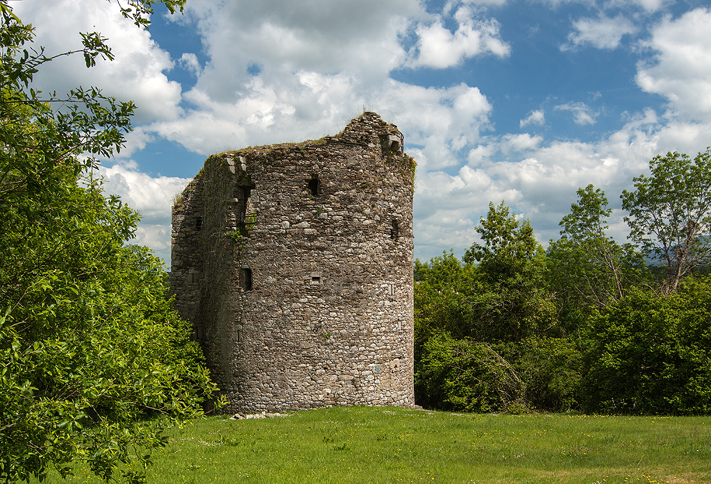
Coolhill Castle ranks #7,982 of 9,040 worldwide in the atlas's castle fame ranking, and #172 of the 178 mapped in Ireland. Founded c. 1250, it is older than 67% of the atlas's dated landmarks, one of 1091 atlas entries founded in the 13th century. 3 more atlas landmarks stand within 25 km. The nearest day-trip guide is Waterford, 26 km away. See how Ireland compares in the castle statistics.
Coolhill Castle is a keep (donjon) and National Monument located in County Kilkenny, Ireland.
Coolhill Castle is located 2.1 km (1.3 mi) northeast of The Rower, on a cliff overlooking the Barrow.
Coolhill Castle was built c. the 13th century. Henry de Rupe (de Roache, Roche) held lands at Coolhill in 1318. Art Óg mac Murchadha Caomhánach held the castle briefly during one of his campaigns. In the 1600s, about 30 de Rupe retainers were massacred at Rosbercon by English soldiers under De La Poer. The castle passed to the Mountgarret family in 1621 and was confiscated by the Roundheads in 1652.
The castle consists of two towers: one, a circular keep, and the other, a square demesne tower located to the east.
The keep has a small southerly projection. The north doorway is protected by a machicolation and there is another to the east. A murder-hole guards the double entrance.
A mural helical stairway leads to the upper floors. The ground floor room has large alcoves. It has a vaulted ceiling with some wicker-marks. There are three storeys above the vault. There is a fireplace on the second floor. The third floor contains a fireplace, garderobe and separate stairs to the roof. There are single-light, round and cross-shaped loopholes.
Text adapted from “Coolhill Castle” on Wikipedia, CC BY-SA 4.0.
View on the interactive castle map →