 Luxembourg · 1st century BC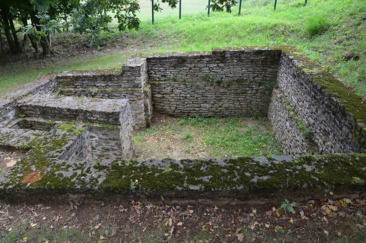
Titelberg (Luxembourgish: Tëtelbierg) is the site of a large Celtic or Germanic settlement or oppidum in the extreme south west of Luxembourg. In the 1st century BCE, this thriving community was probably the capital of the Treveri people. The site thus provides telling evidence of urban civilization in the century before the Roman conquest.
The site lies some three kilometres (1.9 mi) to the southwest of Pétange and three kilometres (1.9 mi) northwest of Differdange on a bare plateau some 390 metres (1,280 ft) above sea level. It is surrounded by steep forested slopes which run down to the Chiers, a 100 metres (330 ft) below. It can be reached from Niedercorn by taking the road to Roudenhaff and making a right turn towards the Fond de Gras.
The Celts inhabited large areas of Europe from the Danube to the Rhine and Rhône during the 6th to 1st centuries BCE, a period sometimes referred to as La Tène after a site in Switzerland where continental Celtic remains were first discovered. It was around 100 BCE that the Treveri, one of the Celtic tribes, came into a period of prosperity. They constructed a number of settlements or oppida near the Moselle valley in what is now southern Luxembourg, western Germany and eastern France. Titelberg was by far the largest of the Treveri settlements, no doubt as a result of its proximity to two of the most important Celtic roads, one from the south connecting the Rhone to the upper Moselle and the north, the other leading to Reims and the west. Another attraction were the iron ore which could be mined in the immediate vicinity and fertile lands.
Covering an area of some 50 ha, the oval-shaped Titelberg plateau is approximately one kilometre (0.62 mi) long (NW to SE) and 500 metres (1,600 ft) wide. It was occupied continuously for 700 years from about 300 BCE. There is evidence of sporadic settlements dating back even further, perhaps to 2000 BCE or before. From the 1st century BCE and during the Gallo-Roman period, foundations of masonry replaced the earlier, less durable constructions. These, together with the nine-metre-high (30 ft) earthen ramparts around the periphery, clearly demonstrate the importance of the Celtic oppidum which appears to have been the seat of the Treveri chiefs.
Although some interest had been shown in the site in 1928, serious archaeological excavations began in 1968 and continue today.
Text adapted from “Titelberg” on Wikipedia, CC BY-SA 4.0.
Titelberg ranks #3,025 of 9,035 worldwide in the atlas's castle fame ranking, and #13 of the 49 mapped in Luxembourg. Founded c. 100 BC, it is older than 99% of the atlas's dated landmarks, one of 16 atlas entries founded in the 1st century BC. Its Wikipedia articles were opened 1,120 times in the last 60 days, more than 53% of the atlas. 20 more atlas landmarks stand within 25 km. The nearest day-trip guide is Luxembourg, 21 km away. See how Luxembourg compares in the castle statistics.
View on the interactive castle map →