Fortress
Torreón de la Chorrera
 Cuba · 17th century
- Founded
- 1646
- Heritage status
- part of UNESCO World Heritage Site
- Location
- Vereda Nueva, La Habana
- Coordinates
- 23.132°, -82.409°
- Open data
- Wikidata Q7827112
- Links
- UNESCO · Wikimedia Commons
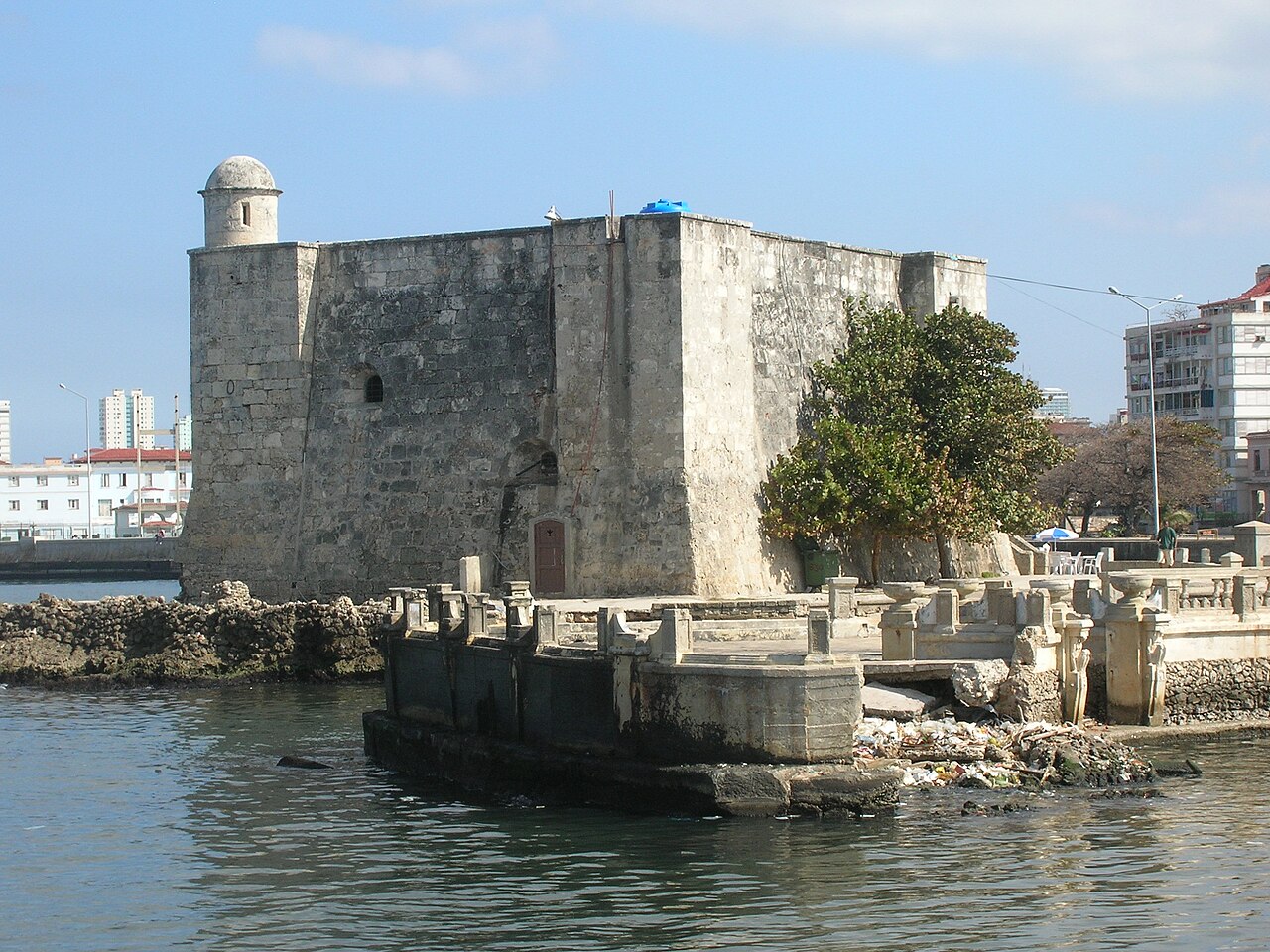
Description
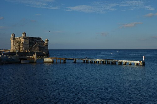
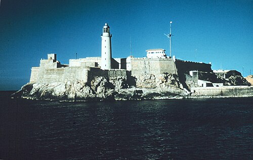
The Torreón de la Chorrera (Tower of la Chorrera), or to give it its full name, Fuerte de Santa Dorotea de la Luna de la Chorrera, was completed in May 1646. The tower stands on a coral islet only a few metres from the shore and not much larger than the tower itself. The tower's purpose was to impede the entry of enemy ships into the mouth of the Almendares River. The British damaged and captured the tower when they took the city in 1762, after which the tower was rebuilt in its present form. Today, the tower contains a restaurant. In 1982, the Torreón was inscribed on the UNESCO World Heritage List, along with other historic sites in Old Havana, because of the city's importance in the European conquest of the New World, its fortifications, and its unique architecture.
Text adapted from “Torreón de la Chorrera” on Wikipedia, CC BY-SA 4.0.
In the rankings
Torreón de la Chorrera ranks #8,189 of 9,902 worldwide in the atlas's castle fame ranking, and #10 of the 12 mapped in Cuba. Founded 1646, it is older than 27% of the atlas's dated landmarks, one of 755 atlas entries founded in the 17th century. 9 more atlas landmarks stand within 25 km. The nearest day-trip guide is Havana, 5 km away. See how Cuba compares in the castle statistics.
Castles nearby
- Castle del Príncipe2 km · Cuba
- Atarés Castle5 km · Cuba
- San Salvador de la Punta Fortress5 km · Cuba
- Morro Castle6 km · Cuba
More castles in Cuba
- Castillo de CojímarCuba · 17th century
- Castillo de San Pedro de la RocaCuba · 17th century
- San Carlos de la Cabaña FortressCuba · 18th century