Ruin
Torsburgen
🇸🇪 Sweden · 1st century
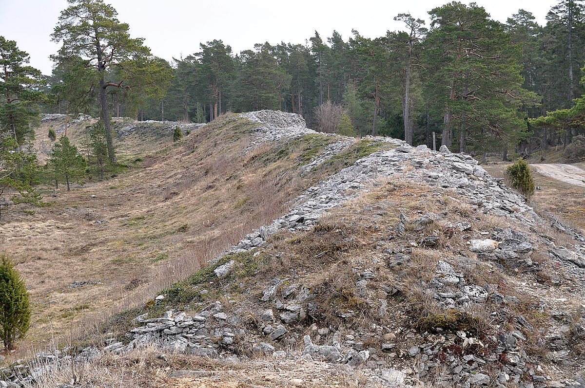
Torsburgen, Tors borg or þors borg ("Thor's fort/castle") are the remains of an ancient hillfort in Kräklingbo on the Swedish island of Gotland in the Baltic Sea. The fort is approximately 1.2 km2 (0.46 mi2), was constructed in the 1st-4th century and in use until the 12th century. Situated on a plateau hill it is protected by high cliffs and wall sections, almost 2 km (1.2 mi) long in total. The fort is featured in the Gutasaga. The plateau is also a nature reserve.
Text adapted from “Torsburgen” on Wikipedia, CC BY-SA 4.0.
Torsburgen ranks #3,555 of 8,134 worldwide in the atlas's castle fame ranking, and #97 of the 206 mapped in Sweden. Founded c. 50, it is older than 98% of the atlas's dated landmarks — one of 21 atlas entries founded in the 1st century. Its Wikipedia articles were opened 1,213 times in the last 60 days, more than 54% of the atlas. 1 more atlas landmarks stand within 25 km. See how Sweden compares in the castle statistics.
View on the interactive castle map →Frequently asked questions
Where is Torsburgen?
Torsburgen stands in Sweden, at 57.4125°, 18.72083°.
When was Torsburgen built?
The atlas dates its founding to c. 50. Earlier structures may have stood on the site; this is the earliest documented founding year.
How famous is Torsburgen?
In this atlas's fame ranking: #3,555 of 8,134 worldwide, and #97 in Sweden. Fame here combines how many Wikipedia language editions cover a landmark with how many people read them.
What is the nearest castle to Torsburgen?
Lojsta Castle, about 21 km away.
More castles in Sweden
- Bollerup Sweden
- Steninge Palace Sweden · 17th century
- Axel Oxenstierna Palace Sweden · 17th century
- Torpa stenhus Sweden · 15th century
More ruins
- Castrum Anderitum England · 3rd century
- Earl's Palace Scotland · 16th century
- Château de Marracq France · 18th century
- Estaus Palace Portugal · 15th century