Ruin
Werdenfels Castle
 Germany
- Heritage status
- architectural heritage monument in Bavaria
- Location
- Garmisch-Partenkirchen
- Coordinates
- 47.5165°, 11.0919°
- Open data
- Wikidata Q1014546
- Links
- OpenStreetMap · Wikimedia Commons
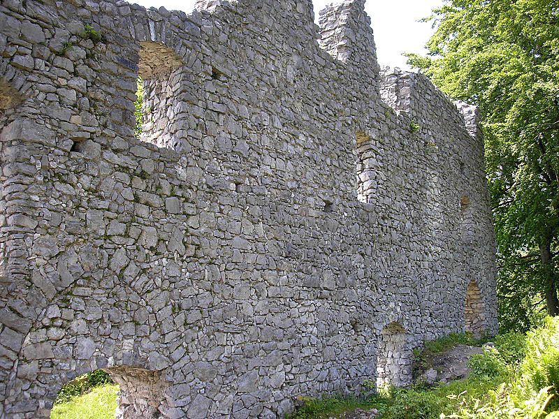
Description
The ruins of Werdenfels Castle (German: Burg Werdenfels) stand about 80 metres above the Loisach valley between Garmisch and Farchant in the county of Garmisch-Partenkirchen in Upper Bavaria. The spur castle was used until 1632 as the administrative centre of the County of Werdenfels, but began to fall into disrepair thereafter.
The castle ruins are freely accessible and are a popular hiking destination with a good view of Garmisch-Partenkirchen and the Wetterstein Mountains.
Text adapted from “Werdenfels Castle” on Wikipedia, CC BY-SA 4.0.
In the rankings
Werdenfels Castle ranks #6,578 of 9,902 worldwide in the atlas's castle fame ranking, and #687 of the 927 mapped in Germany. Its Wikipedia articles were opened 1,128 times in the last 60 days, more than 59% of the atlas. 2 more atlas landmarks stand within 25 km. The nearest day-trip guide is Innsbruck, 36 km away. See how Germany compares in the castle statistics.
Castles nearby
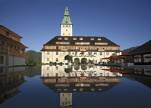
- Schloss Elmau9 km · Germany
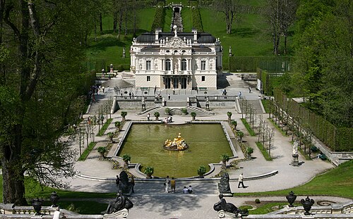
- Linderhof Palace12 km · Germany
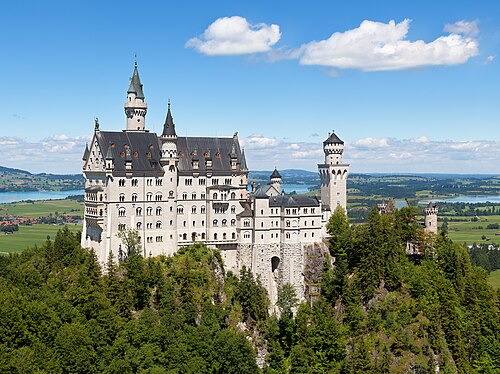
- Neuschwanstein Castle26 km · Germany
- Hohenschwangau Castle27 km · Germany
More castles in Germany
- Schlossanlage AltdöbernGermany
- Schloss RitzebüttelGermany · 14th century
- Rabenstein Castle (Fläming)Germany
- OrtenburgGermany · 10th century