 Bosnia and Herzegovina · 18th century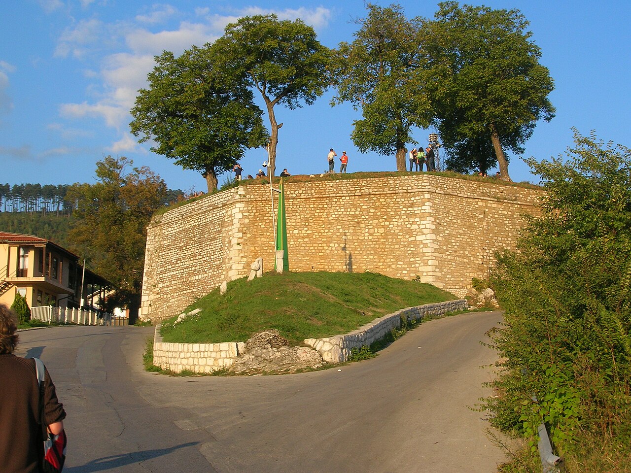
The Yellow Fortress or Yellow Bastion (Bosnian, Croatian and Serbian: Žuta Tabija, Serbian Cyrillic: Жута Табија) is a cannon fortress at the entrance of the "Walled City of Vratnik". It was built between 1727 and 1739 in area called Jekovac, close to the Jajce Barracks and the Jekovac water reservoir. It served as one of the defense points against the Austro-Hungarian troops in 1878. The fortress was damaged and rebuilt several times. The most recent renovation took place in 1998.
Text adapted from “Žuta Tabija” on Wikipedia, CC BY-SA 4.0.
Žuta Tabija ranks #3,130 of 9,079 worldwide in the atlas's castle fame ranking, and #8 of the 40 mapped in Bosnia and Herzegovina. Founded 1727, it is older than 19% of the atlas's dated landmarks — one of 696 atlas entries founded in the 18th century. Its Wikipedia articles were opened 1,680 times in the last 60 days, more than 65% of the atlas. 6 more atlas landmarks stand within 25 km. The nearest day-trip guide is Sarajevo, 2 km away. See how Bosnia and Herzegovina compares in the castle statistics.
View on the interactive castle map →