 Kroatien · 9. Jahrhundert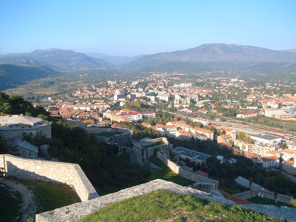
Die Festung Knin (kroatisch Kninska tvrđava) liegt nahe dem höchsten Berg Kroatiens, der Dinara, und nahe der Quelle des Flusses Krka. Sie ist die zweitgrößte Festung Kroatiens und die bedeutendste Verteidigungsanlage sowie eine historische Stadt in der Gespanschaft Šibenik-Knin im dalmatinischen Hinterland. Der Bau der Festung begann bereits im 9. Jahrhundert, während der heutige Zustand im 17. und 18. Jahrhundert entstand. Ihren Höhepunkt erreichte sie unter der Herrschaft von Demetrius Zvonimir, ab 1076 König von Kroatien, da sie unter ihm als politisches Zentrum des Königreichs Kroatien diente.
Maschinell übersetzt aus „Knin Fortress“ in der englischsprachigen Wikipedia, CC BY-SA 4.0.
Knin steht weltweit auf Platz 1.577 von 9.079 im Burgen-Bekanntheitsranking des Atlas und Nr. 14 der 79 in Kroatien verzeichneten. Die Gründung fällt auf um 850: früher als bei 94% der datierten Objekte des Atlas, eines von 88 Atlas-Objekten, die im 9. Jahrhundert gegründet wurden. Die Wikipedia-Artikel dazu wurden in den letzten 60 Tagen 2.228-mal geöffnet, mehr als 72% des Atlas. Im Umkreis von 25 km stehen 2 weitere Objekte des Atlas. Der nächste Ausflugs-Guide ist Split, 62 km entfernt. Die Anlage gehört zu den 32 Objekten auf der Regionalkarte Dalmatien. Sehen Sie in der Burgen-Statistik, wie Kroatien abschneidet.
Auf der interaktiven Burgenkarte ansehen →